The roads that were left behind
Old public roads that are still unpaved, still legal to drive, and mostly forgotten — because a tunnel or a newer road took their traffic away and nobody ever closed them.
Every road here is a public road. This is not off-road driving, which is banned or tightly restricted across most of western and northern Europe. Each entry carries the official number of the road it is, and nothing joins this list without one.
Measured, not estimated · Nasjonal vegdatabank, Statens vegvesen (open licence)
The first six
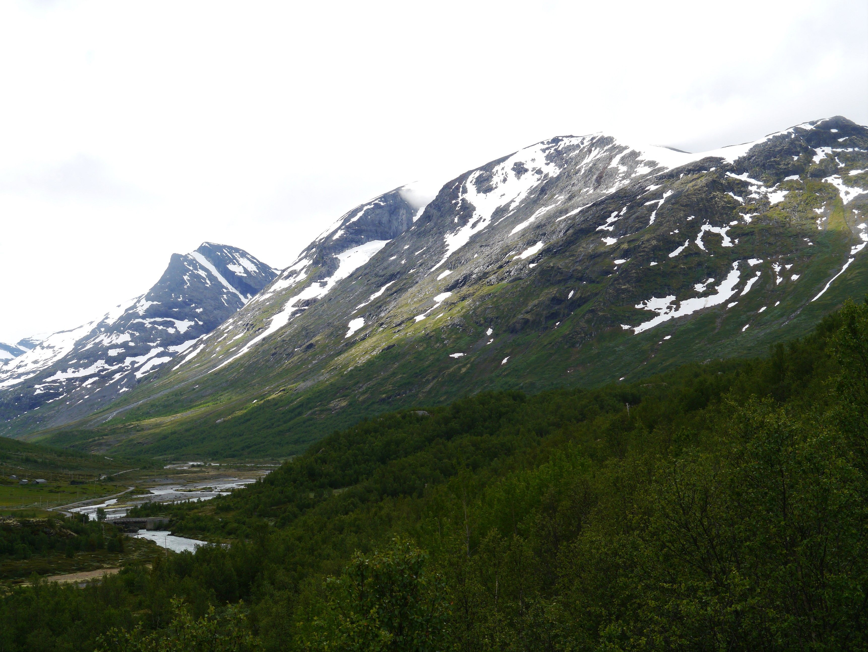
Gamle Strynefjellsvegen
Grotli → Videsæter · Innlandet / Vestland
- Unpaved
- 15.95 / 27.3 km
- Elevation
- 1,139 m
- Season
- Early June until the snow returns — normally closed through October
Finished in 1894 as the main link between eastern Norway and Nordfjord. When the new Strynefjellsveien opened in 1977, nobody closed the old one.
A road that was superseded and simply left standing. 130 years of weather, the same gravel, the same stone culverts — and the tunnel that replaced it running underneath.
Photo: Zairon · CC BY-SA 3.0
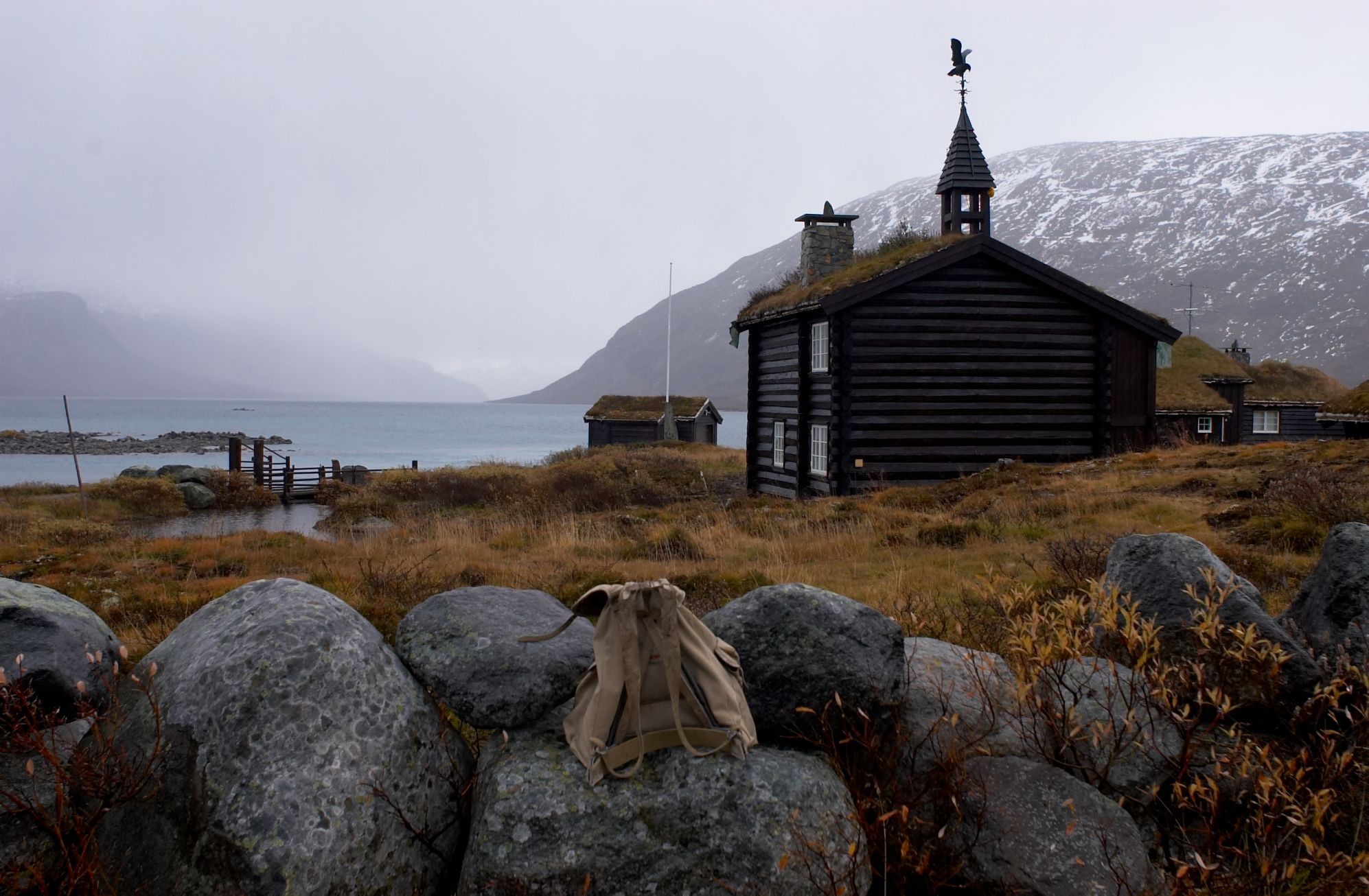
Eidsbugardvegen
Tyin → Eidsbugarden · Vang, Innlandet
- Unpaved
- 18.7 km
- Elevation
- 1,082 m
- Season
- Summer only — high enough that the snow decides the dates
The highest gravel county road we measured: 1 082 m at the midpoint. And it does not go anywhere — it ends at Bygdin, inside Jotunheimen.
A dead end into the biggest mountains in Norway. The road exists because people wanted to reach Eidsbugarden, not because anything waits on the far side.
Photo: Tore Urnes · CC BY 2.0
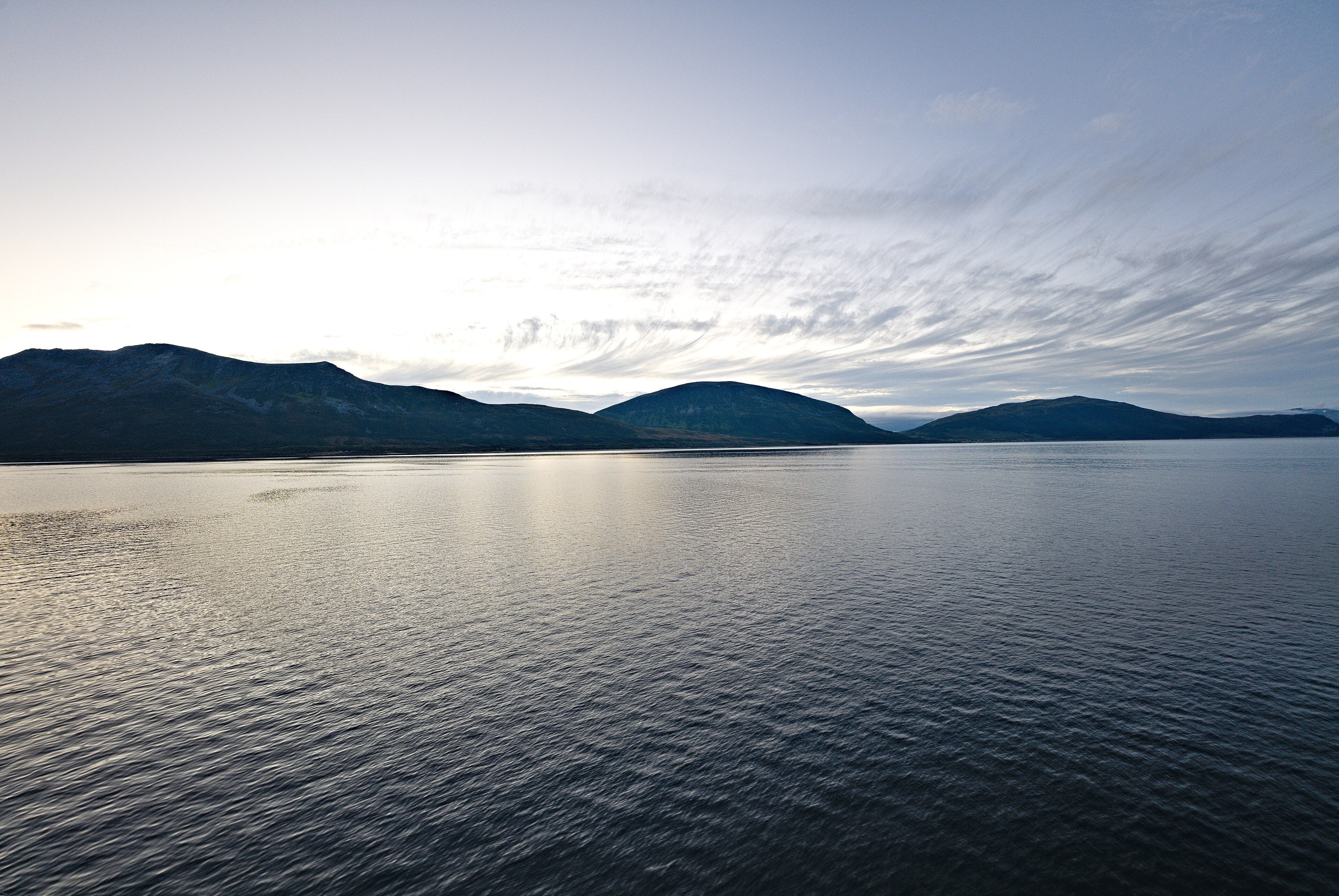
Stakkvik – Bakketun
Stakkvik → Bakketun · Karlsøy, Troms
- Unpaved
- 29.9 km
- Elevation
- 18 m
- Season
- Open all year in principle — an Arctic coast road, so the weather decides
The longest unbroken unpaved stretch in the whole Norwegian county road network — 29.9 km — and it runs at sea level near 70°N.
Everything else on this list climbs. This one does not. It follows the water on an Arctic island where the sun does not set in June and does not rise in December.
Photo: Leonhard Lenz · CC0
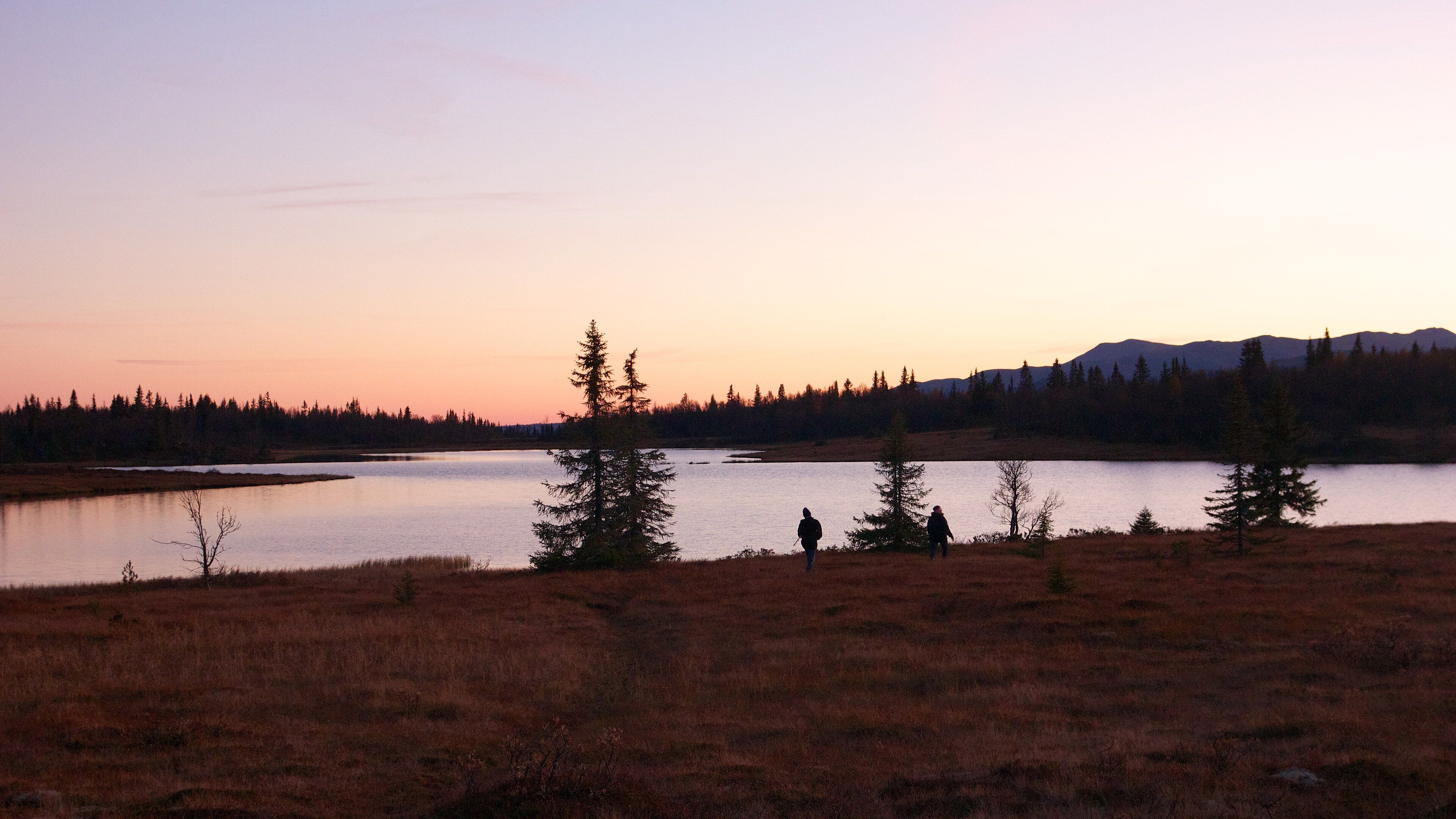
Across Gausdal Vestfjell
Hafsennstølhøgde → Vestre Gausdal · Gausdal · Nordre Land · Etnedal, Innlandet
- Unpaved
- 26.4 km
- Elevation
- 959 m
- Season
- Summer and early autumn — a mountain crossing, not a valley road
Long and high at once: 26.4 km of gravel at around 960 m, crossing the plateau between three municipalities instead of skirting it.
Above the treeline for most of its length, which on a plateau means you can see the whole road ahead of you and nothing else at all.
Photo: Jan Hammershaug · CC BY 2.0
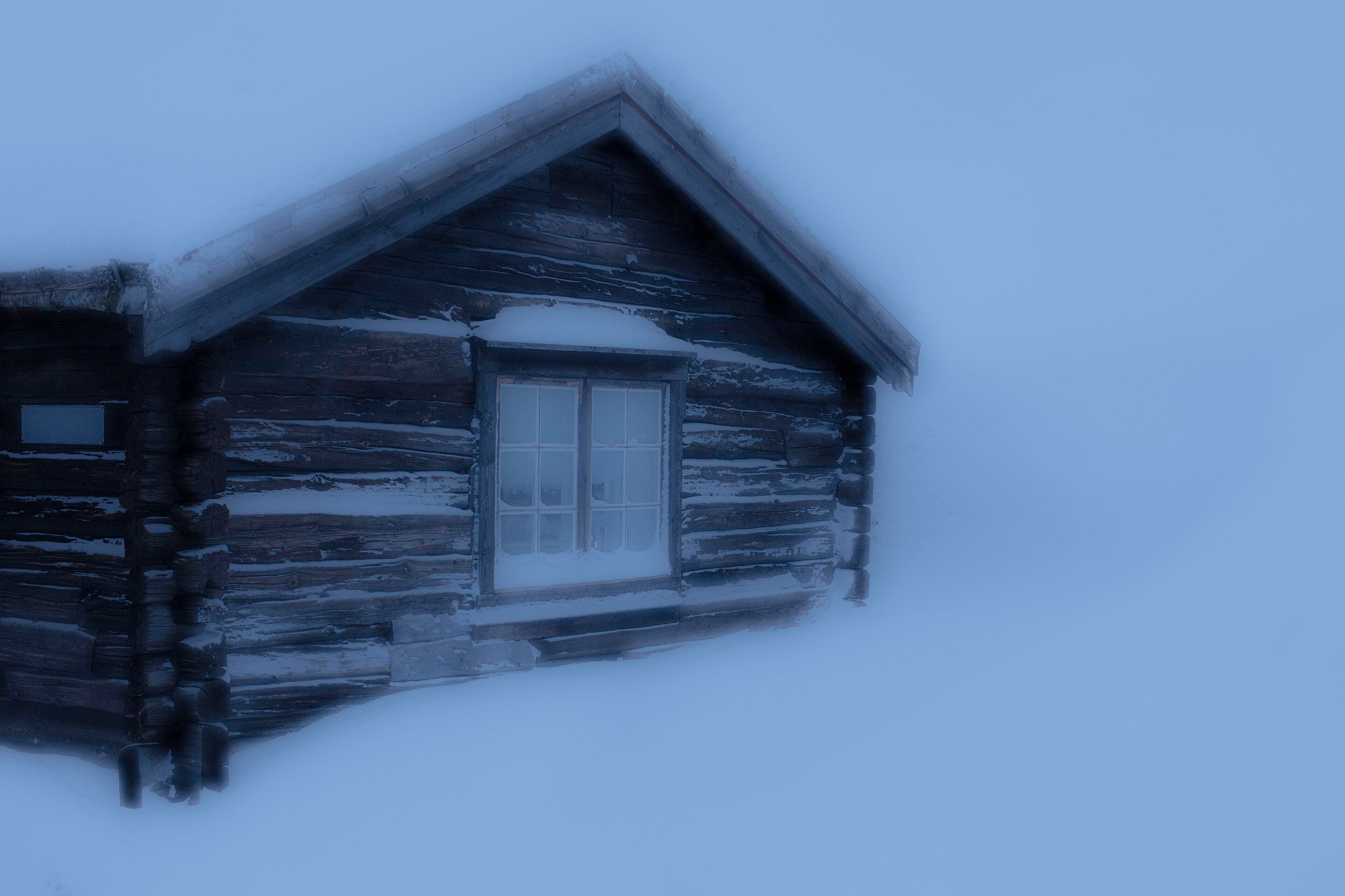
Brekkveien
Røros → Røros · Røros, Trøndelag
- Unpaved
- 20.6 km
- Elevation
- 707 m
- Season
- Summer and autumn — winter is a different proposition at 700 m inland
It runs inside the Røros Circumference — the 45 km radius granted to the copper works in 1646, and part of the UNESCO World Heritage site since 2010.
The mines worked for 333 years and closed in 1977. The roads that served them are still here, still gravel, and the town they fed is World Heritage.
Photo: Simon Radchenko · CC BY 4.0
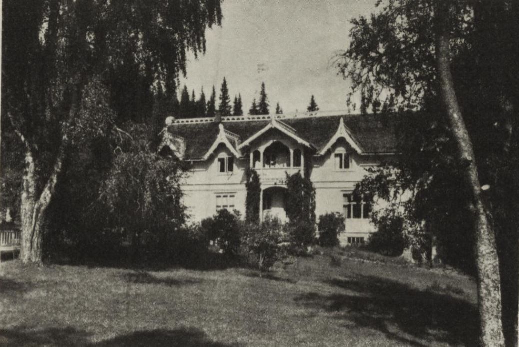
Along the Østerdalen pilgrim path
Østerdalsleden → Bryn · Trysil, Innlandet
- Unpaved
- 20.5 km
- Elevation
- 644 m
- Season
- Summer and autumn
20.5 km of gravel that begins where the Østerdalen pilgrim path to Nidaros runs — a driving road and a walking route on the same ground.
People have been walking north through here for eight hundred years. The gravel is newer than the path it follows.
Photo: Ludwig Zapffe · Public domain
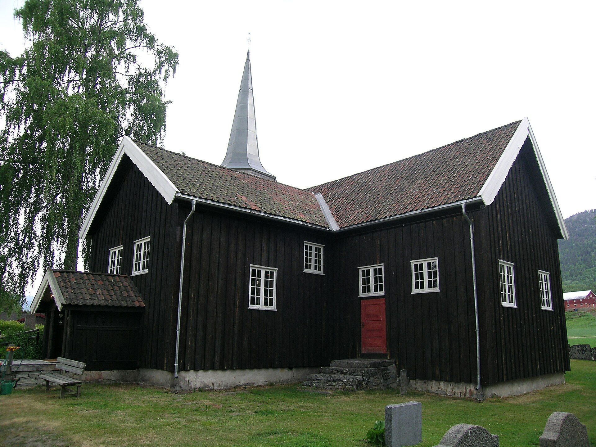
Over the ridge into Numedal
Bingen → Lampeland · Øvre Eiker · Flesberg, Buskerud
- Unpaved
- 16.8 km
- Elevation
- 528 m
- Season
- Late spring to autumn
The only one of these with the shape of a proper pass: up 366 m, over, and straight back down the other side.
It comes down into Numedal, which Norway calls the medieval valley. Of roughly 200 timber buildings left standing from before 1537 in the whole country, 44 are in this one valley — and the stave church at the bottom of the hill was built around 1150.
Photo: Mahlum · Public domain
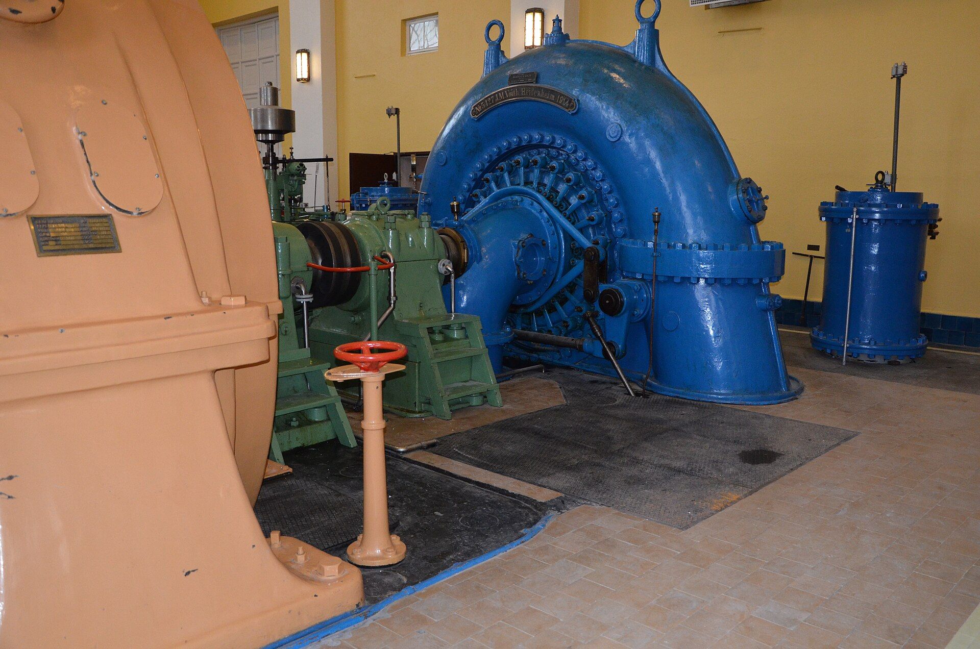
Follafoss to Steinkjer
Follafoss → Steinkjer · Steinkjer, Trøndelag
- Unpaved
- 24.9 km
- Elevation
- 278 m
- Season
- Summer and autumn — a plateau crossing, not a valley road
It starts at a pulp mill on the fjord, climbs to 433 m, drops, climbs higher again, and only then comes down. The longest unpaved county road we have not filmed yet.
Follafoss has made wood pulp since 1909 and had its own power station from 1923. Twelve kilometres away the iron mine at Malm ran for 83 years. The road leaves all of that behind within a mile and does not meet it again.
Photo: Statkraft · CC BY 2.0
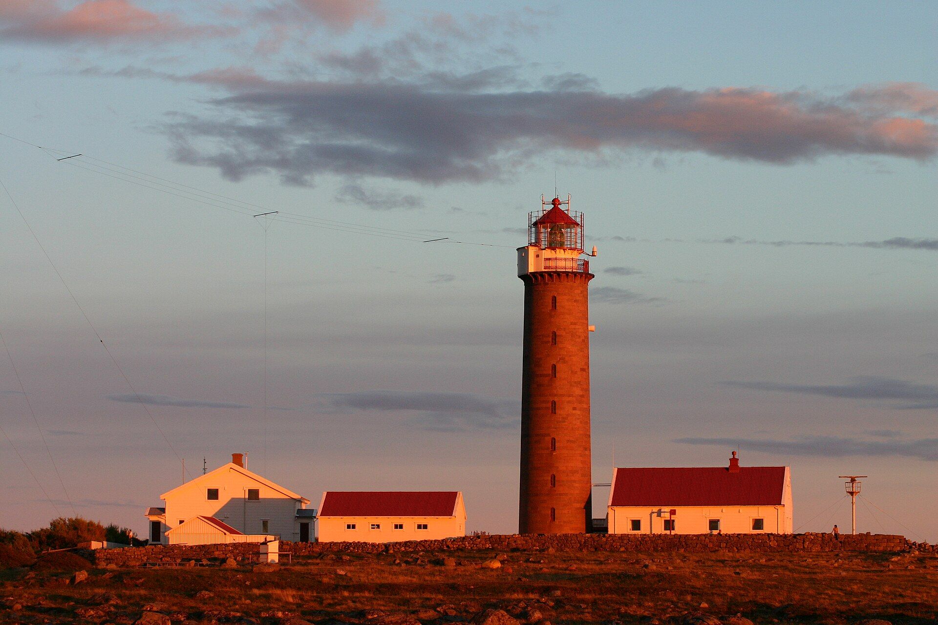
Across Lista
Lyngdal → Farsund · Farsund · Lyngdal, Agder
- Unpaved
- 16.6 km
- Elevation
- 1 m
- Season
- All year in principle — the wind decides, not the snow
Everything else on this list climbs into the mountains. This one starts one metre above the sea, goes up to 367 m, and comes back down to the water.
Lista is flat, treeless and permanently in the wind, with the North Sea hitting the coast head on. It is also one of the richest places in the Nordic countries for archaeology: over 1 500 registered sites, from Stone Age dwellings to burial mounds. The landscape has been protected since 1987.
Photo: Wikimedia Commons · CC BY 2.5
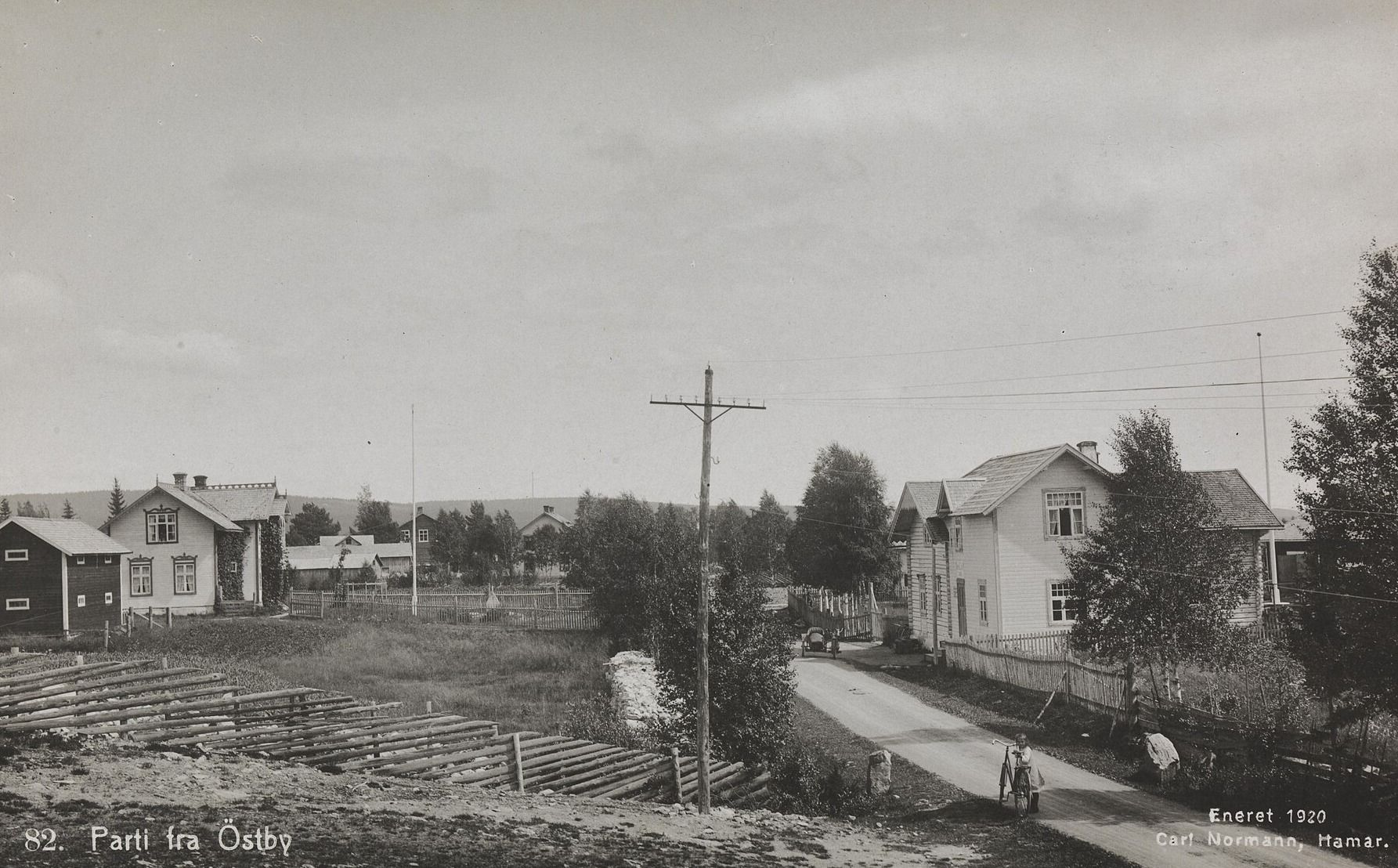
Svenskvegen
Plassen → Østby · Trysil, Innlandet
- Unpaved
- 16.4 km
- Elevation
- 495 m
- Season
- Summer and autumn
It is called Svenskvegen — the Swedish road. Not because of where it is, but because of where the people on it were going.
This was a road between two kingdoms. Traders took it west to Elverum and changed their money at Galåsen, where Trysil got its first bank. Beside the route lies one of the largest finds of cooking stones in the district — the mark of people stopping in the same place, over and over, for a very long time.
Photo: Carl Normann, 1920 · Nasjonalbiblioteket · Public domain
Build a trip around one
The planner treats these like any other route — day by day, where to sleep, what it actually costs.
Open the plannerLengths and surfaces for the Norwegian roads are queried from Nasjonal vegdatabank, the Norwegian Public Roads Administration's own database. Elevation is sampled at the midpoint of the unpaved section — it is not the high point. Opening dates depend on snow and are decided locally each year, so check before you go.