Svenskvegen
Plassen → Østby · Trysil, Innlandet, Norway
- Unpaved
- 16.4 km
- Elevation
- 495 m
- Surface
- Gravel
- Season
- Summer and autumn
It is called Svenskvegen — the Swedish road. Not because of where it is, but because of where the people on it were going.
This was a road between two kingdoms. Traders took it west to Elverum and changed their money at Galåsen, where Trysil got its first bank. Beside the route lies one of the largest finds of cooking stones in the district — the mark of people stopping in the same place, over and over, for a very long time.
May I actually drive it?
Yes. Fv 2162 is a public road with an owner and published closures — not a track across open land, which is banned or tightly restricted in most of western and northern Europe. Obey the signs at the barrier: a road that is open in August can be shut in October, and the dates are decided locally each year.
Plan a trip around it
Open the planner on these two points and it draws the real road, day by day, with somewhere to sleep and what it costs.
Open in the plannerSources
- trysilnavn.no
- snl.no
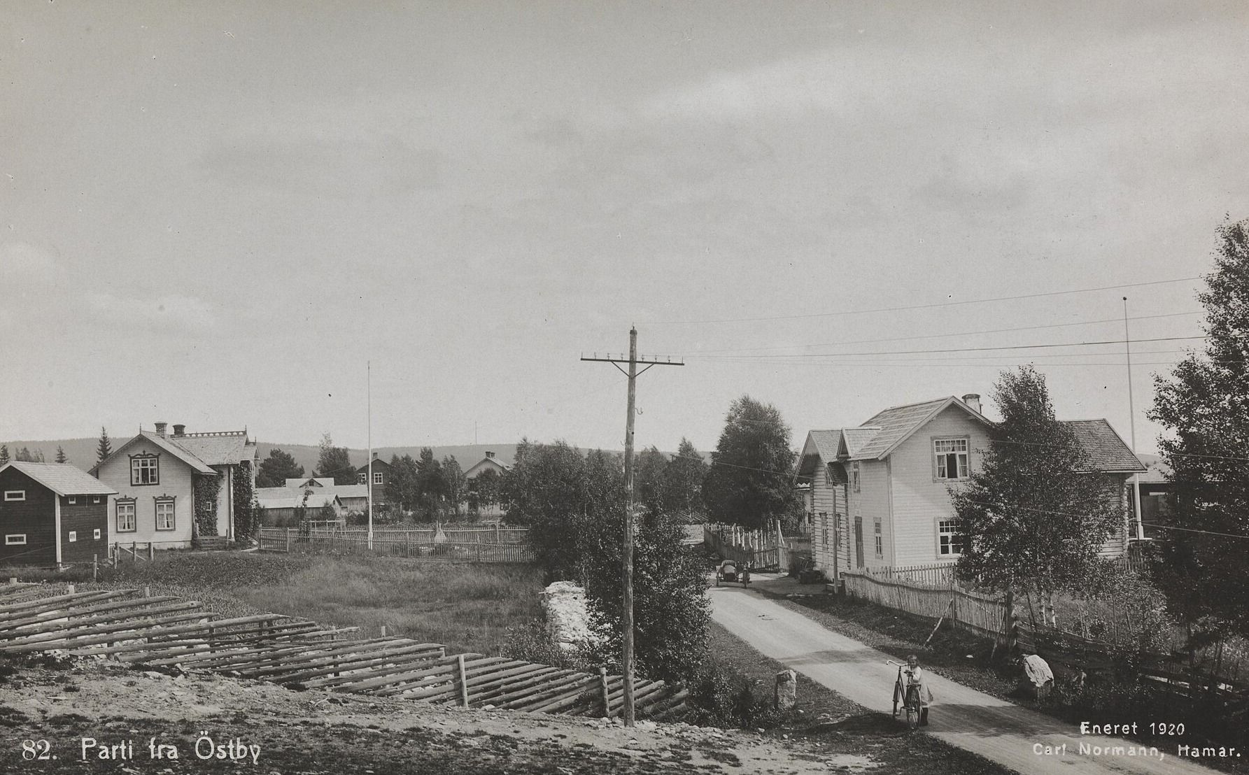
- Photo: Carl Normann, 1920 · Nasjonalbiblioteket · Public domain
Lengths and surfaces for the Norwegian roads are queried from Nasjonal vegdatabank, the Norwegian Public Roads Administration's own database. Elevation is sampled at the midpoint of the unpaved section — it is not the high point. Opening dates depend on snow and are decided locally each year, so check before you go.