Across Lista
Lyngdal → Farsund · Farsund · Lyngdal, Agder, Norway
- Unpaved
- 16.6 km
- Elevation
- 1 m
- Surface
- Gravel
- Season
- All year in principle — the wind decides, not the snow
Everything else on this list climbs into the mountains. This one starts one metre above the sea, goes up to 367 m, and comes back down to the water.
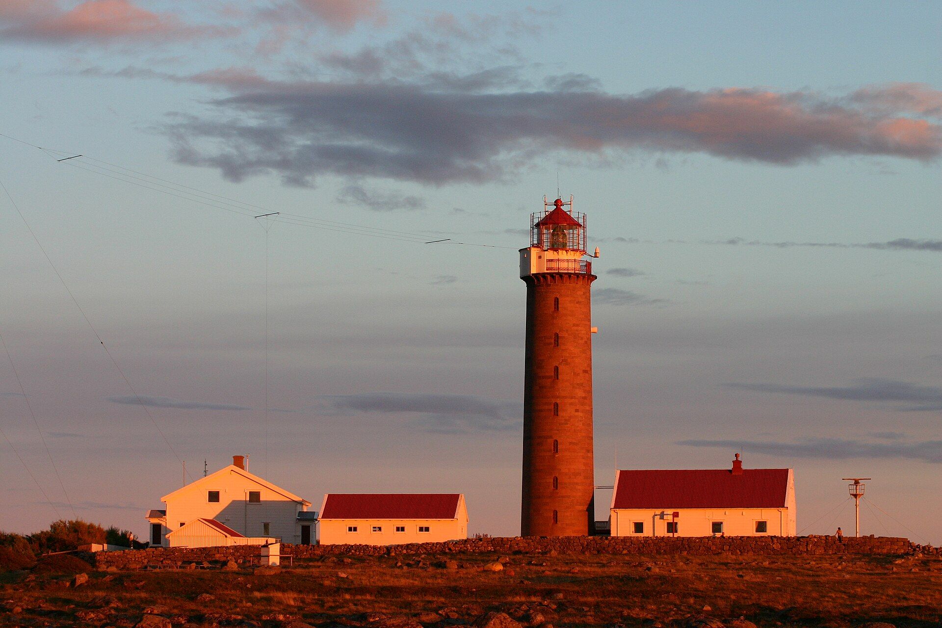
Lista is flat, treeless and permanently in the wind, with the North Sea hitting the coast head on. It is also one of the richest places in the Nordic countries for archaeology: over 1 500 registered sites, from Stone Age dwellings to burial mounds. The landscape has been protected since 1987.
May I actually drive it?
Yes. Fv 4102 is a public road with an owner and published closures — not a track across open land, which is banned or tightly restricted in most of western and northern Europe. Obey the signs at the barrier: a road that is open in August can be shut in October, and the dates are decided locally each year.
Plan a trip around it
Open the planner on these two points and it draws the real road, day by day, with somewhere to sleep and what it costs.
Open in the plannerSources
- lovdata.no
- snl.no
- Photo: Wikimedia Commons · CC BY 2.5
Lengths and surfaces for the Norwegian roads are queried from Nasjonal vegdatabank, the Norwegian Public Roads Administration's own database. Elevation is sampled at the midpoint of the unpaved section — it is not the high point. Opening dates depend on snow and are decided locally each year, so check before you go.