Strada dell'Assietta
Pian dell'Alpe → Sestriere · Città metropolitana di Torino, Piedmont, Italy
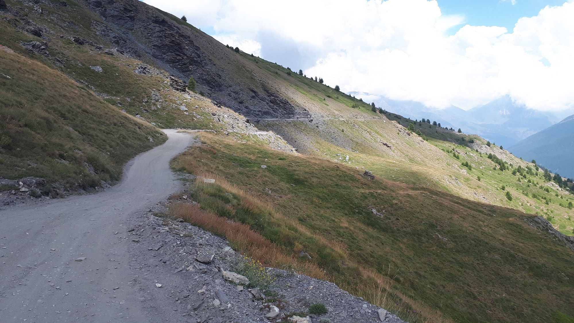
- Unpaved
- 32.4 km
- Elevation
- 2,377 m
- Surface
- Gravel
- Season
- July to October; no motor traffic Wed and Sat 9–17 in July and August — rules set yearly
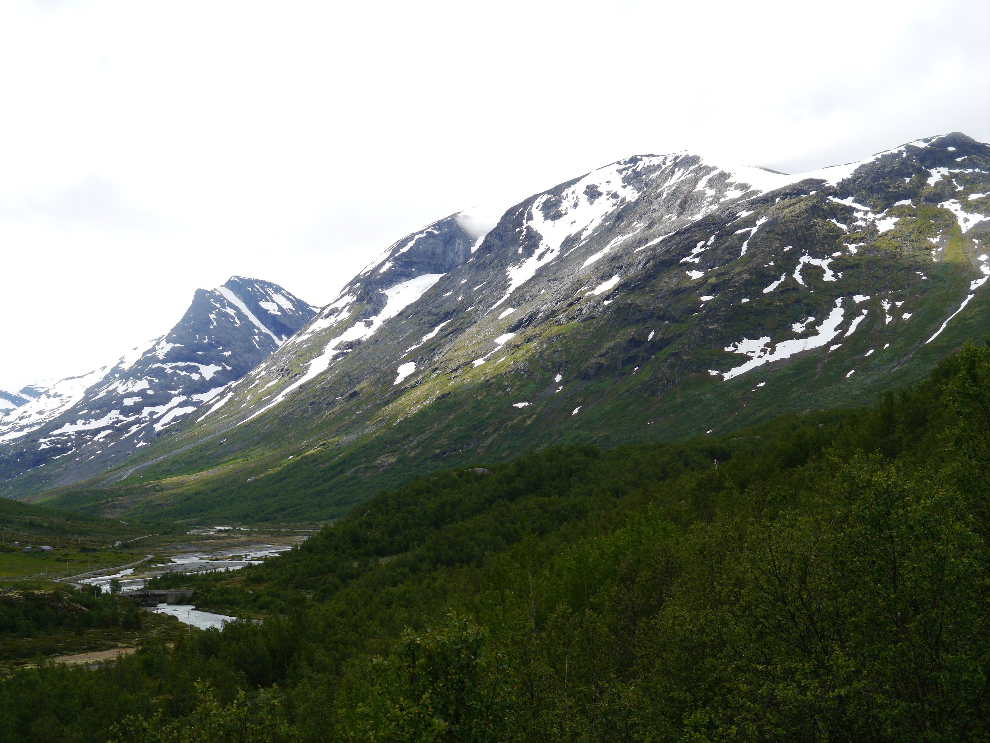
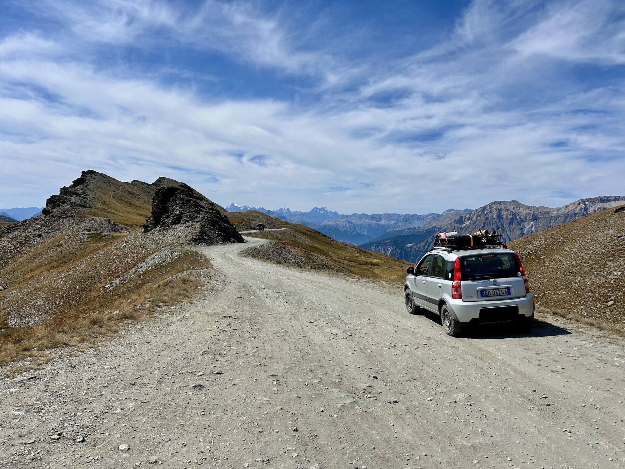
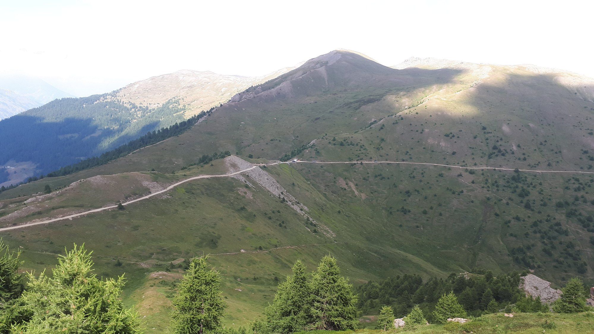
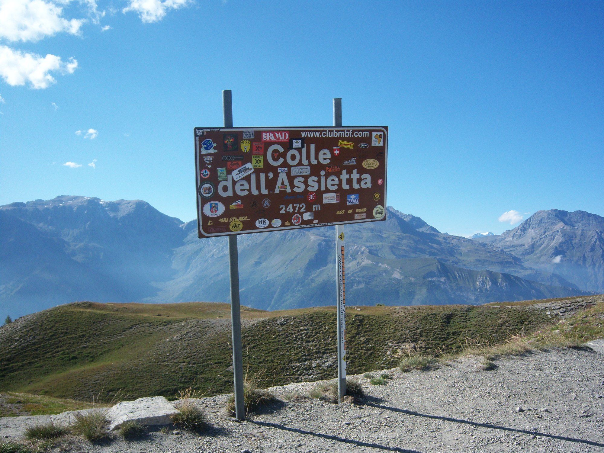
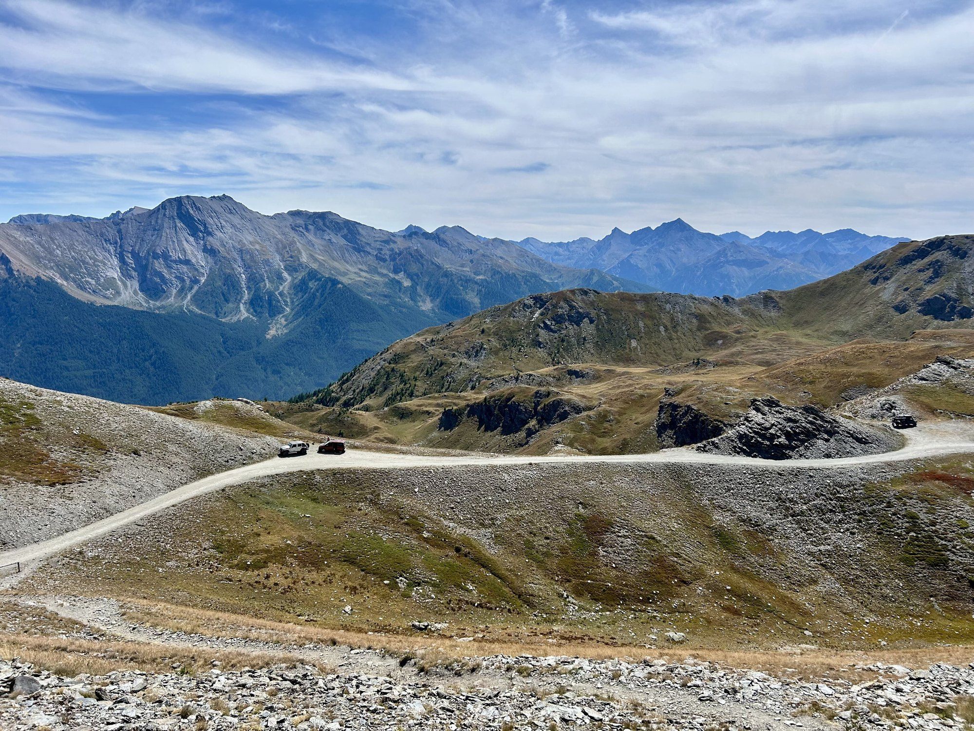
A ridge of gravel between Val di Susa and Val Chisone, over a string of passes above 2 000 m. It is a numbered provincial road, SP 173: 30 km/h, and two summer days a week without engines.
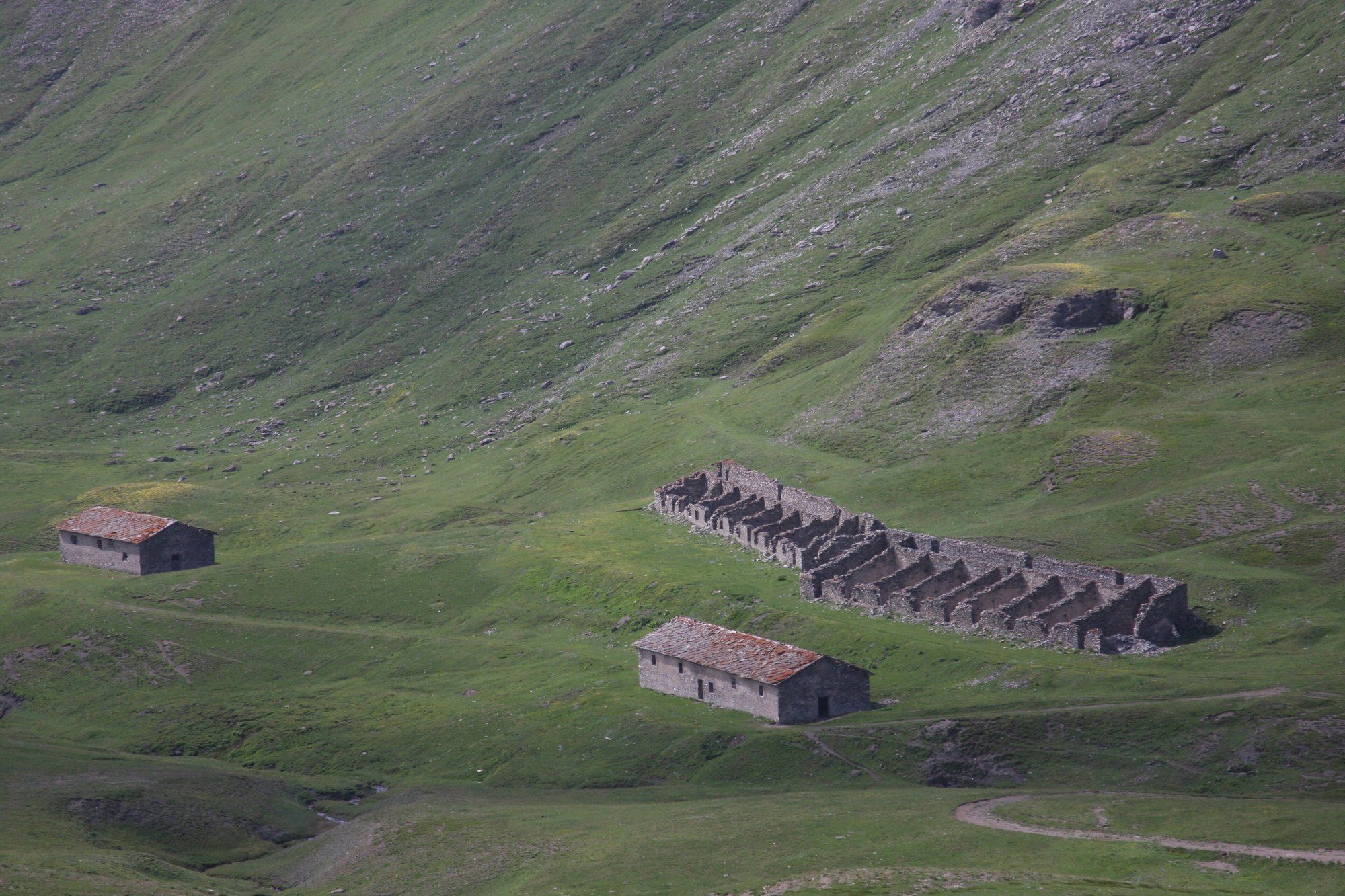
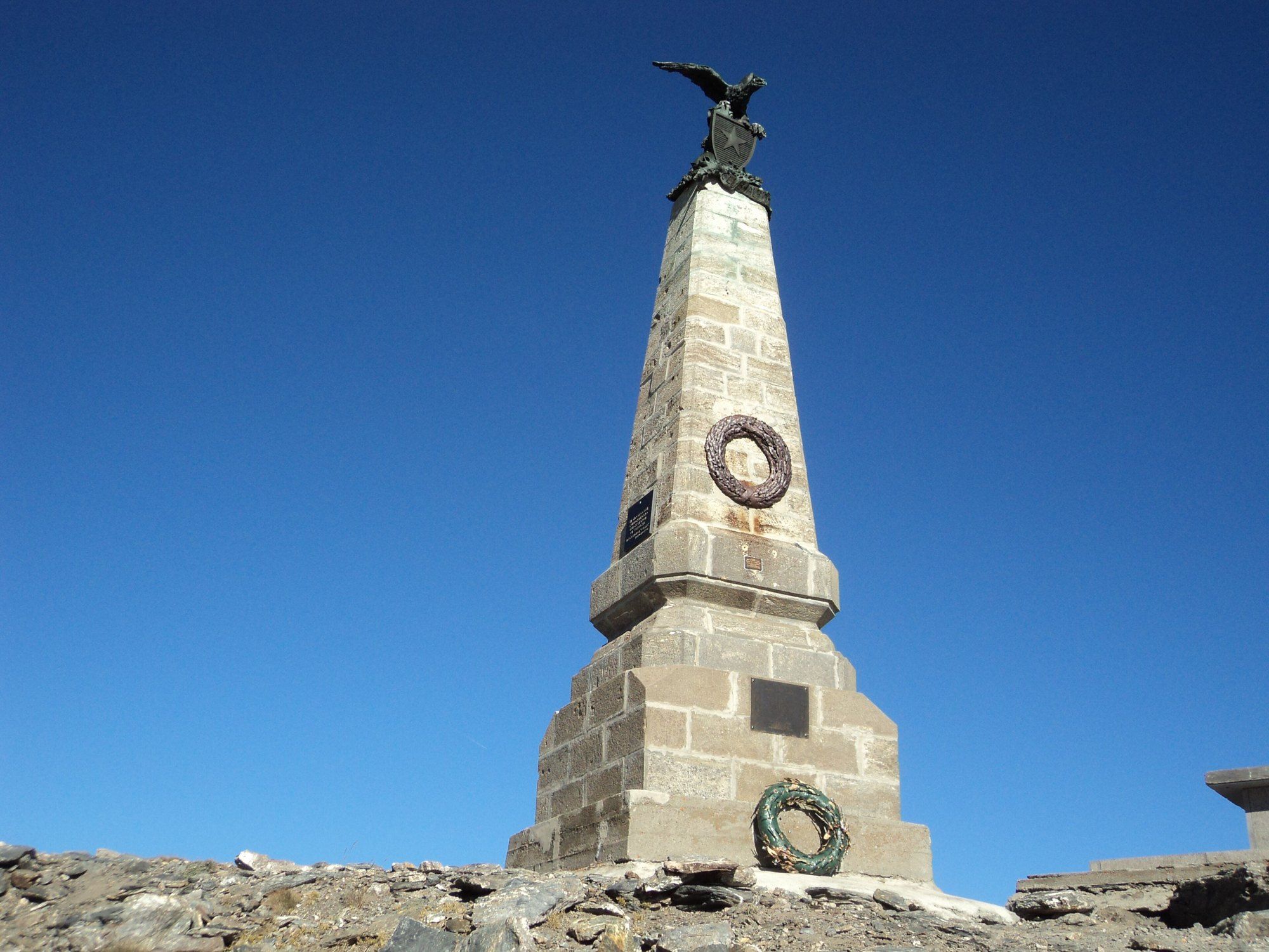
On 19 July 1747 about 6 000 Piedmontese and Austrian troops held this ridge against some 20 000 French. The road came later, built in the late 19th century to reach the forts.
May I actually drive it?
Yes. SP 173 is a public road with an owner and published closures — not a track across open land, which is banned or tightly restricted in most of western and northern Europe. Obey the signs at the barrier: a road that is open in August can be shut in October, and the dates are decided locally each year.
Plan a trip around it
Open the planner on these two points and it draws the real road, day by day, with somewhere to sleep and what it costs.
Open in the plannerSources
This road's unpaved length is measured from its route in OpenStreetMap; the road owner's own figure may differ. Elevation is sampled at the midpoint of the unpaved section — it is not the high point. Rules and opening dates are decided locally each year, so check before you go.