Over the ridge into Numedal
Bingen → Lampeland · Øvre Eiker · Flesberg, Buskerud, Norway
- Unpaved
- 16.8 km
- Elevation
- 528 m
- Surface
- Gravel
- Season
- Late spring to autumn
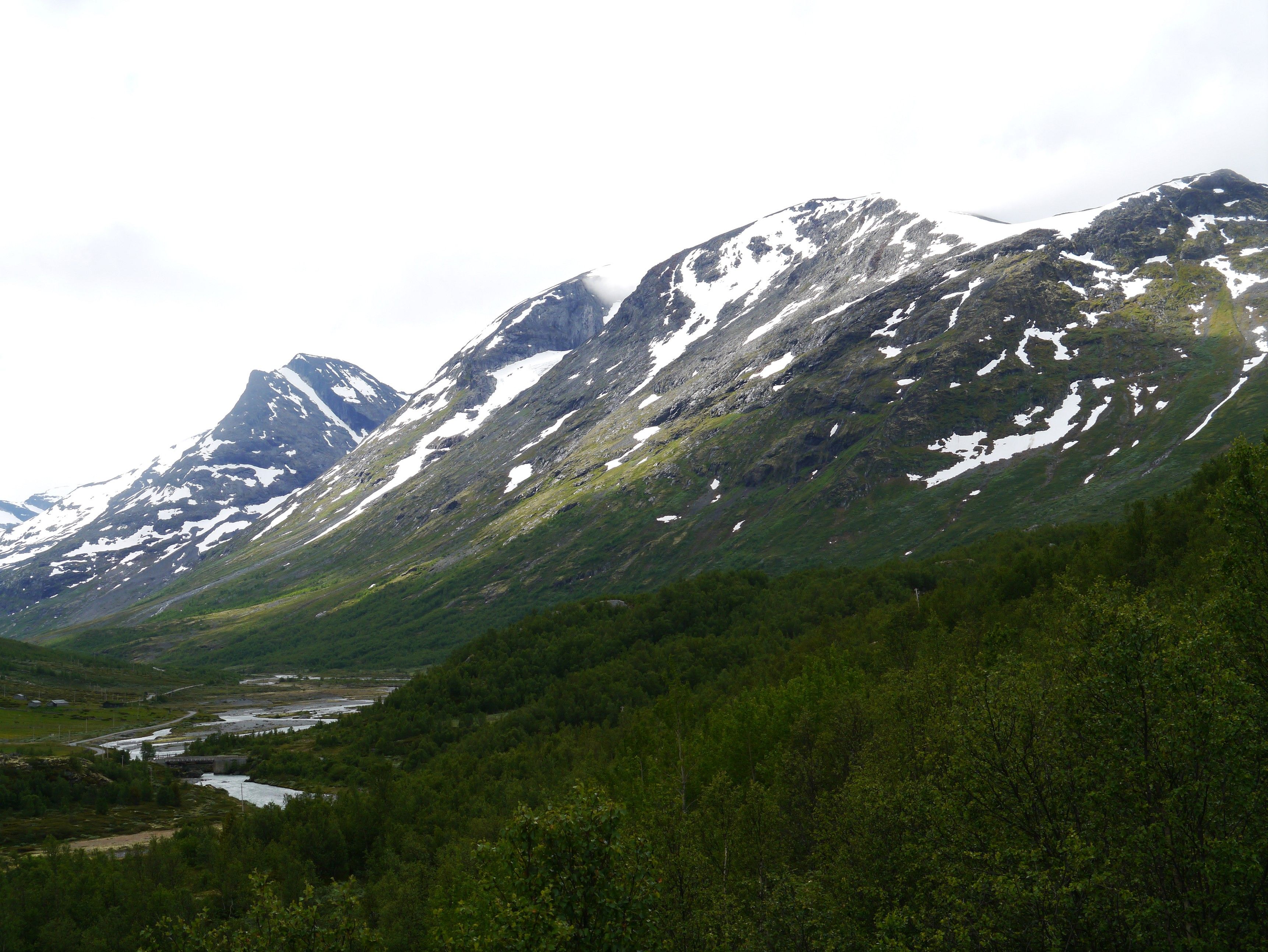
The only one of these with the shape of a proper pass: up 366 m, over, and straight back down the other side.
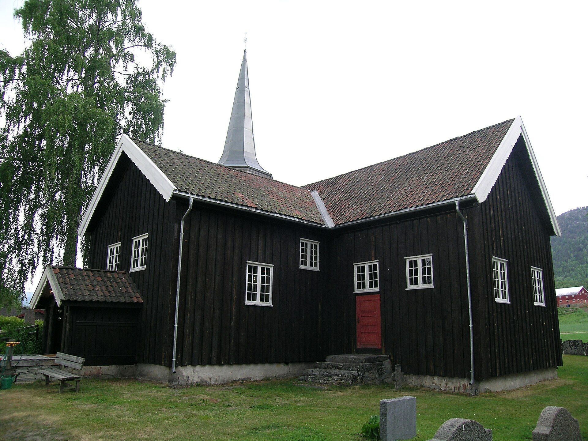
It comes down into Numedal, which Norway calls the medieval valley. Of roughly 200 timber buildings left standing from before 1537 in the whole country, 44 are in this one valley — and the stave church at the bottom of the hill was built around 1150.
May I actually drive it?
Yes. Fv 2740 is a public road with an owner and published closures — not a track across open land, which is banned or tightly restricted in most of western and northern Europe. Obey the signs at the barrier: a road that is open in August can be shut in October, and the dates are decided locally each year.
Plan a trip around it
Open the planner on these two points and it draws the real road, day by day, with somewhere to sleep and what it costs.
Open in the plannerSources
- snl.no
- snl.no
- Photo: Mahlum · Public domain
Lengths and surfaces for the Norwegian roads are queried from Nasjonal vegdatabank, the Norwegian Public Roads Administration's own database. Elevation is sampled at the midpoint of the unpaved section — it is not the high point. Opening dates depend on snow and are decided locally each year, so check before you go.