Transfăgărășan: the road Ceaușescu built over the mountains
Army engineers blasted it across the Făgăraș in four and a half years, for a war that never came. Half a century later it is one of Europe's great drives — and a summer-only one.
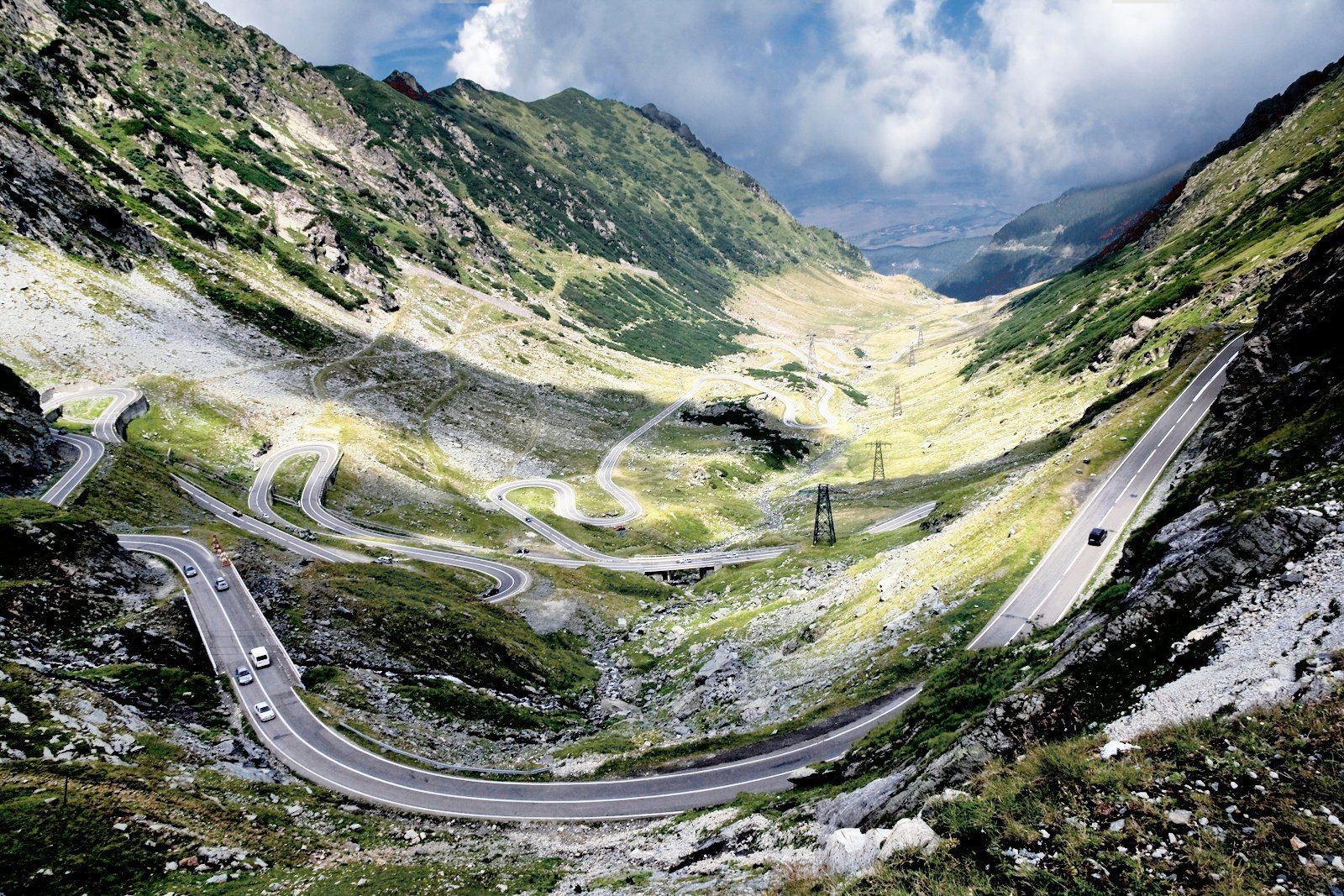
On 20 September 1974, Nicolae Ceaușescu stood on the Bâlea Lake plateau, more than two thousand metres up in the Făgăraș mountains, and opened a road across them. It had taken four and a half years, thousands of soldiers and, by the army’s own count, almost forty lives. For most of the year it would be buried under snow.
Half a century later people cross Europe to drive it. The reason it exists has almost nothing to do with why they come.
A road for a war that never came
The first plan for a road through this part of the Făgăraș came in the early 1960s, and it was a plan for timber: a way to reach the forests. It was dropped because it cost too much.
Then, in August 1968, Soviet-led armies invaded Czechoslovakia. According to people who were close to Ceaușescu, quoted by the newspaper Adevărul, that invasion is what brought the road back. The few passes between Transylvania and Wallachia ran through narrow valleys that could be blocked or attacked, and Ceaușescu wanted another way across the mountains — a strategic road that could link the garrisons at Pitești and Sibiu if the others were cut.
It is a good story, and the Romanian press has told it the same way for decades. It is worth saying what it rests on: the recollections of people around him, not a published order. The state news agency AGERPRES dates the first studies to 1967, before the invasion, and the project was formally approved only in December 1969.
What is not in doubt is who built it. The work went to the army’s engineer troops.
Four million cubic metres of mountain
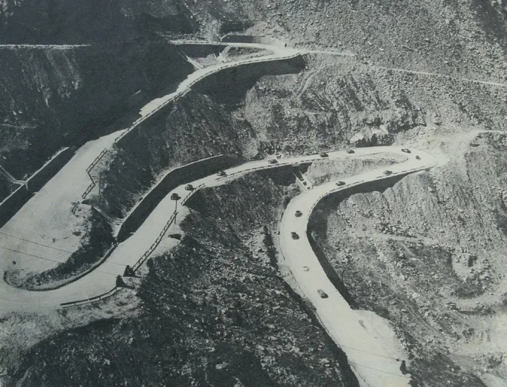
Construction began in the early spring of 1970 — 10 March, according to Adevărul; late February, according to the account published by Digi FM. The regime wanted it finished in three years. The 1st Engineer Regiment from Râmnicu Vâlcea started from the south. From 1971 the “Apulum” regiment from Alba Iulia worked the northern slope, and in 1973 a pontoon regiment from Turnu Măgurele took over the section around the lake. About three thousand soldiers worked on the road in all, alongside hundreds of civilians recruited with wages that were high for the time. They worked in three shifts, and they worked through the winters.
The numbers that survive are the numbers of a quarry. Roughly four million cubic metres of rock and earth were moved. AGERPRES lists a hundred bulldozers, sixty excavators, two hundred compressors and three hundred heavy trucks on the site. One bulldozer could not be driven up at all: the local paper Tribuna reports that it was cut apart with a welding torch, carried up the mountain in pieces and put back together at the top.
How much explosive went into it depends on whom you ask. Figures of 6,000 and 6,520 tonnes circulate in the Romanian press; none of the articles that print them cites the document they came from.
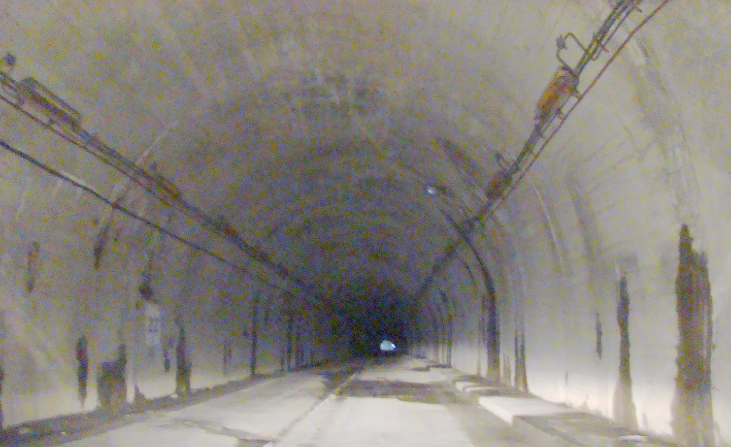
On 16 August 1971 the two teams, one digging up from each side, met at a spot known as Poarta Întâlnirii — the Meeting Gate. Between 1972 and 1974 they drove a tunnel under the main ridge, 884, 887 or 889 metres long, depending on the source — Romania’s longest road tunnel through a mountain, according to Digi FM.
The price
The mountain did not give way easily. Winds of 120 km/h were recorded on the ridge. Avalanches in the winters of 1972 and 1973 carried off a compressor, two bulldozers, a grader and a roller.
They also carried off men. In a communiqué of July 2009, the Ministry of National Defence put the toll at “almost 40 dead and as many injured”. Not every account agrees: a retired officer, Colonel Vasile Dabu, quoted by Digi FM, said that officially seven men had died, and that the real number was higher. Rumours of hundreds of deaths have circulated for decades. No document that we could find supports them.
One more detail is worth repeating, because it is so unlike him. According to General Nicolae Mazilu, quoted in Adevărul, Ceaușescu’s entourage proposed naming the road after him, and Elena Ceaușescu pushed him to accept. He refused. The asphalt, for its part, was only finished in 1980.
The road you drive today
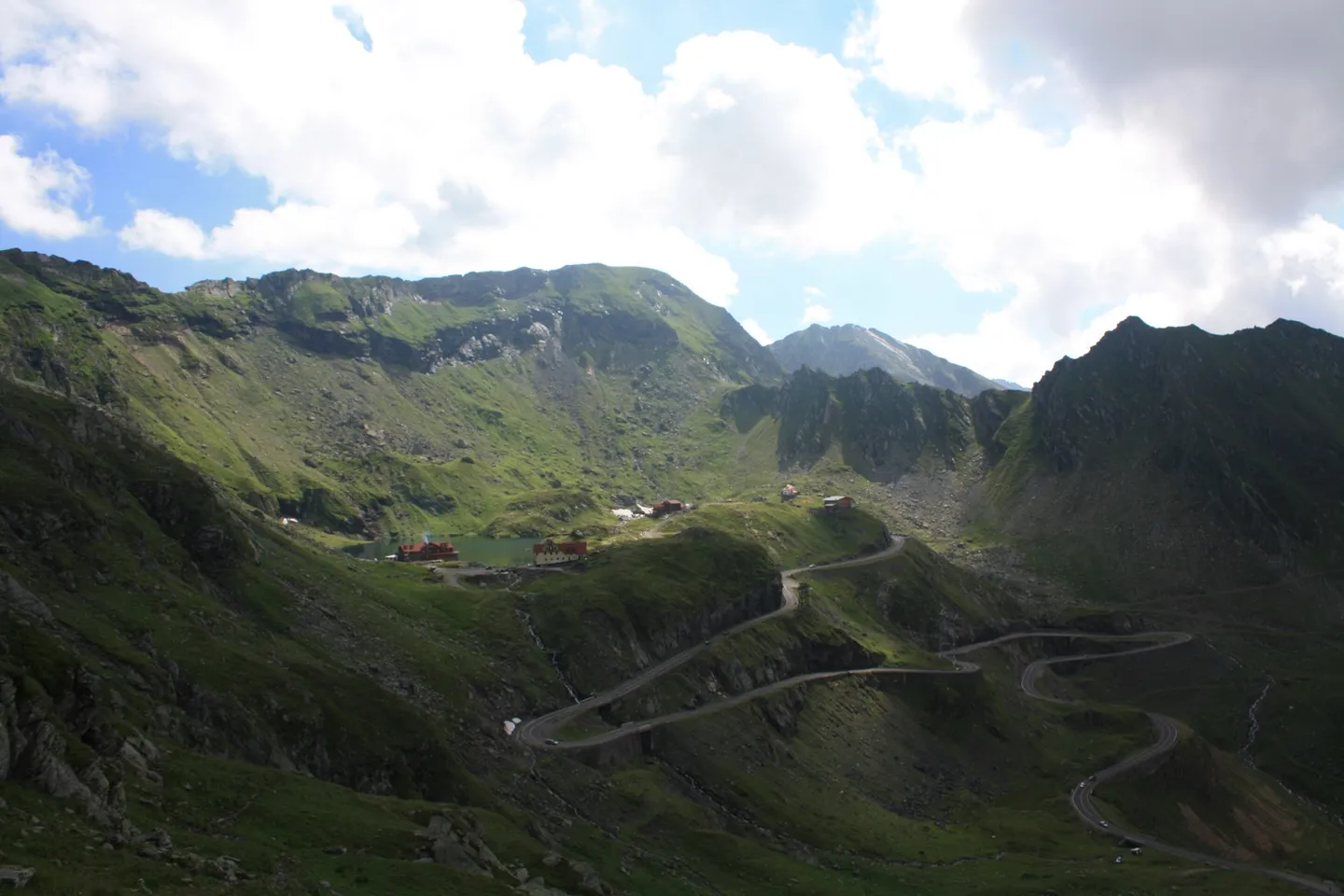
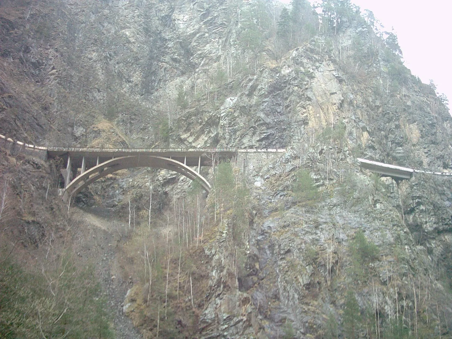
The DN7C is about 150 kilometres long, but the part everyone means by “the Transfăgărășan” is the roughly 90-kilometre mountain section built in the 1970s. It climbs to a little over 2,000 metres — sources put the top anywhere from 2,034 to 2,044 metres — and crosses 27 or 28 bridges and viaducts along the way.
The two sides of the mountain are completely different drives. From the north the road climbs a bare glacial valley in a stack of hairpins you can see all at once from the top — the view most photographs of the road show. From the south, from Curtea de Argeș, it is a gentler hour of driving through forest, past the Vidraru Dam, before the climb begins.
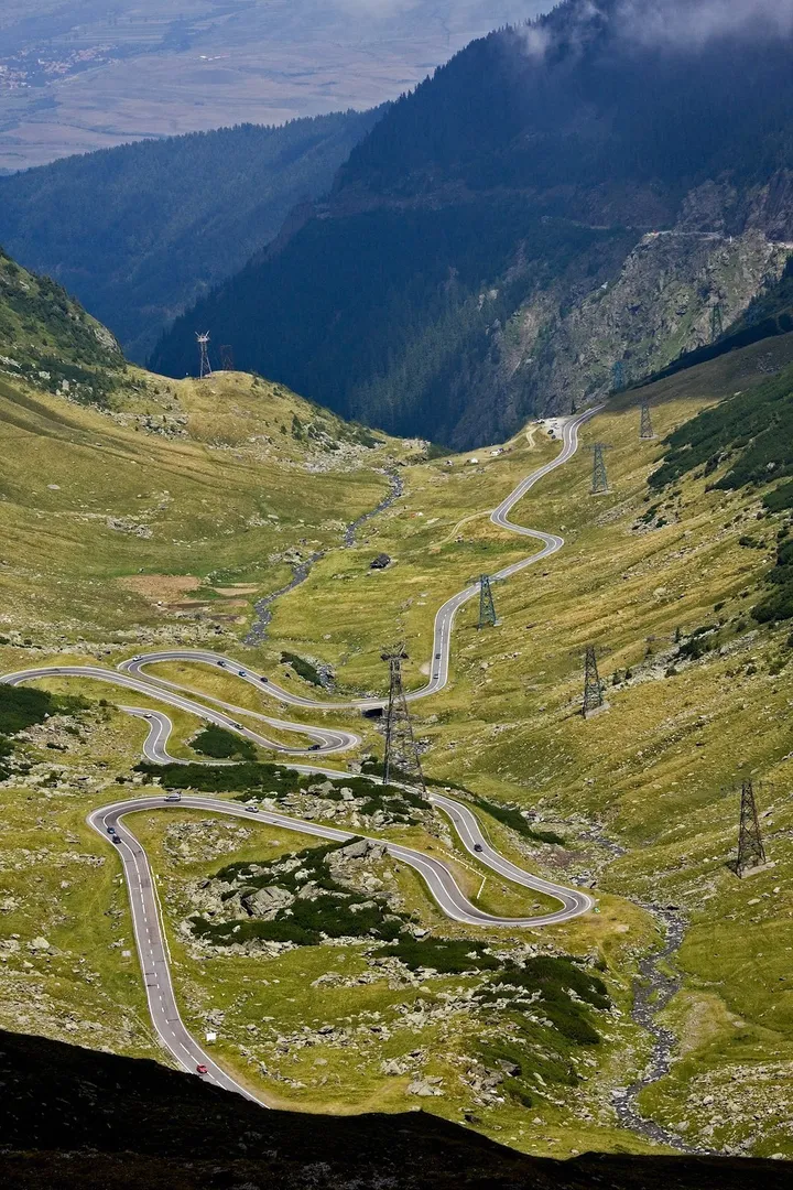
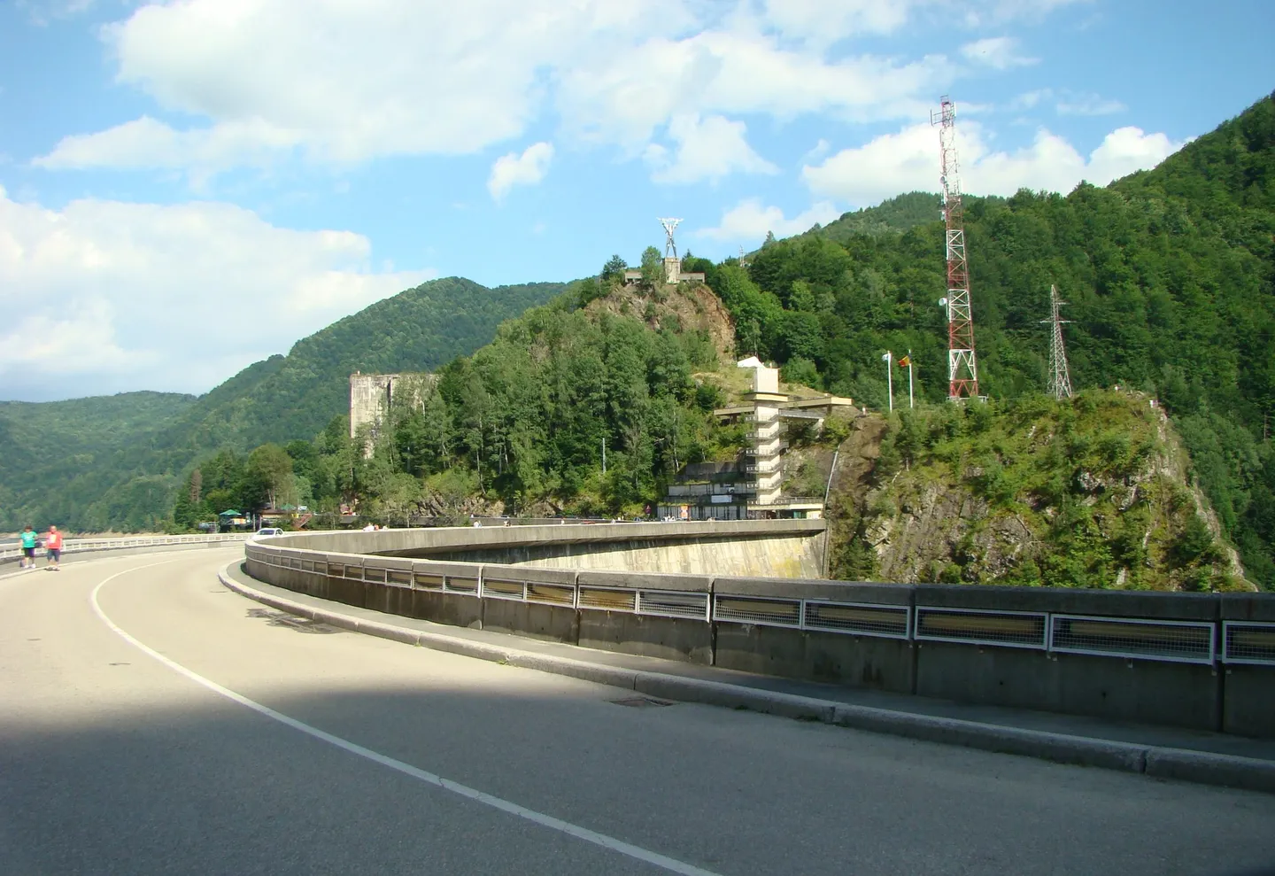
In 2009 the BBC’s Top Gear came to Romania looking for the world’s greatest driving road, and left giving it that title — one the programme had handed to Italy’s Stelvio Pass before.
Snow for most of the year
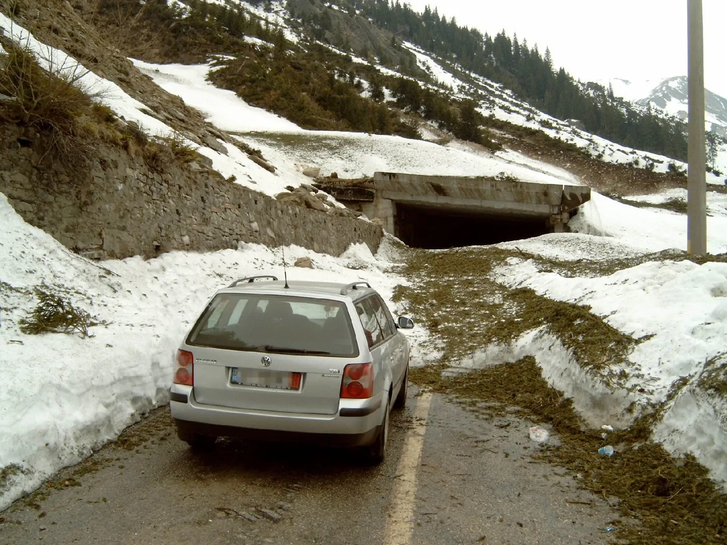
The high section is a summer road. The ridge is under snow for more than 220 days a year, and the stretch between Piscu Negru on the south side and Bâlea Cascadă on the north is closed every autumn for, in the words of the road authority CNAIR, “heavy snowfall, blizzards and frequent avalanches”. In 2025 it closed on 20 October; in 2026 it reopened on 12 June.
The castle above the road
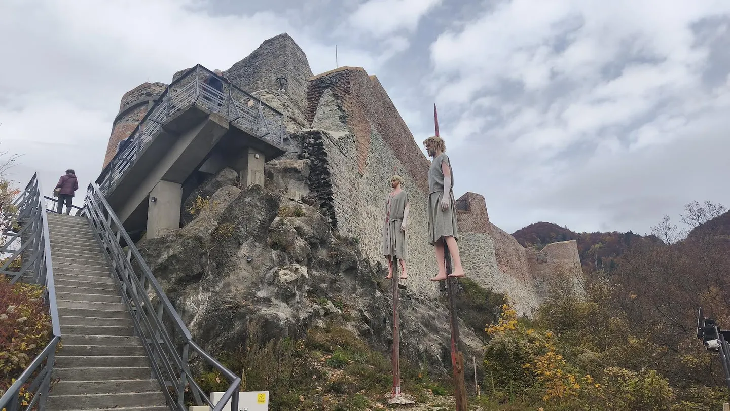
On the southern approach, a stairway of 1,480 concrete steps climbs from the road to the ruins of Poenari fortress on a crag 850 metres up. The Argeș County Museum dates its first tower to the first half of the fourteenth century, built probably by the early Basarab princes; it was rebuilt and extended by Vlad III — Vlad Țepeș, the Impaler — who, according to the chronicle, made townspeople do the building as a punishment.
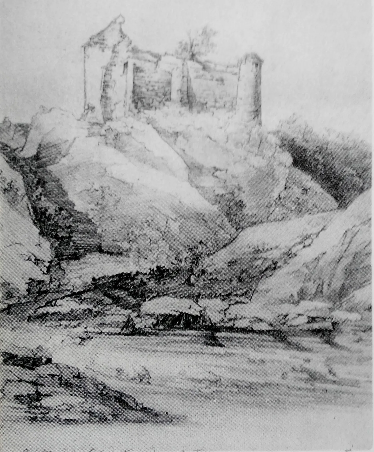
Poenari reopened in April 2025 after conservation work. The county council lists it as open daily from 10:00 to 18:00, with the last climb at 17:00.
Before you go
Do not feed the bears. Bears come down to the road here, and feeding them is how they lose their fear of people — which is exactly what the Romanian government’s definition of a “habituated” bear describes. In November 2025 the government raised the fine for feeding a wild bear to between 10,000 and 30,000 lei. Police, gendarmes and environmental inspectors have run joint checks on a 15-kilometre stretch of the road, fining drivers for feeding bears and for stopping where they should not.
Start early. The road is narrow and slow, and you will want time to stop.
Check before you set off. The opening and closing dates move with the snow. The road authority announces them each year, and the dates we track are in the box at the top of this page.
Drive it both ways if you can. The northern climb is the famous one, but the southern side — the forest, the dam, the castle — is a different road altogether, and worth the time.
Drive it yourself
The day-by-day route, real costs and where to sleep are in the itinerary. The planner draws it on the map from wherever you start.
Sources
- AGERPRES — Fragment de istorie: a fost inaugurat drumul naţional Transfăgărăşan (2024)
- Adevărul — 40 de ani de la inaugurarea Transfăgărăşanului (Mihai Voinea, 2014)
- Adevărul — Cum a fost construit Transfăgărășanul în patru ani (Daniel Guță, 2024)
- Adevărul Sibiu — Cum a fost construit Transfăgărășanul (Daniel Guță, 2026)
- Digi FM — Povestea Transfăgărășanului (2024)
- Tribuna — Transfăgărășan, drumul construit cu buldozerul desfăcut bucăți (2024)
- Ziare.com — Transfăgărășan: construcție, apărare militară (2022)
- Știrile ProTV — Circulația s-a închis oficial pe Transfăgărășan (CNAIR, 2025)
- Consiliul Județean Argeș — Cetatea Poienari
- Muzeul Județean Argeș — Cetatea Poienari
- Guvernul României — acte normative adoptate în ședința din 6 noiembrie 2025 (urși)
- Ziare.com — Amenzi pentru hrănirea urșilor pe Transfăgărășan (2024)
- Top Gear — The Transfagarasan Highway: the world's best road?
- IMDb — Top Gear: Romanian GT Road Trip (2009)
Every fact in this story comes from the sources above. Where they disagree, the text says so. Found a mistake? Write to hello@roadcutco.com.