Transalpina: the King's Road nobody can agree on
Romania's highest road was a shepherds' path, a royal project and seventy years of gravel before it was paved — and every source tells its history a little differently.
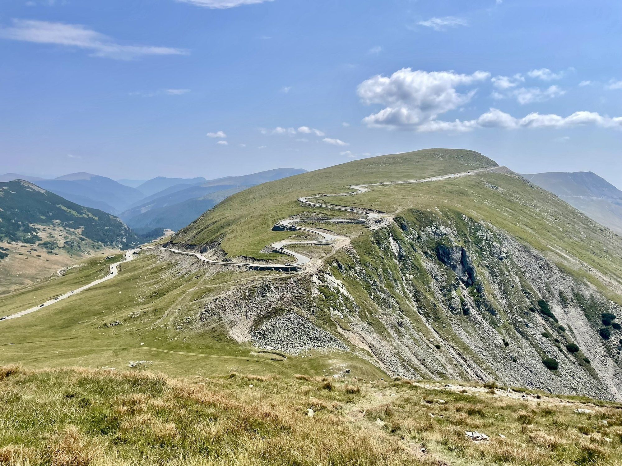
At the Urdele pass, 2,145 metres up in the Parâng mountains, the Transalpina is higher than any other road in Romania — about a hundred metres higher than the famous Transfăgărășan. For most of the last century hardly anyone drove it. It was a gravel track that only off-road vehicles could manage, and before that it was a path for shepherds.
Everybody agrees on that much. On almost everything else about its history, the sources disagree.
A road with three origin stories
The oldest story is that the Romans built it. Gorj County Council repeats it on its tourism pages, carefully: “some sources claim” that it was first built by the Roman legions during the wars with the Dacians. A tourist brochure published by the town of Novaci goes further and calls it the oldest national road in Europe. We found no archaeological source for any of this. It is best read as local tradition.
What the county council does say plainly is that the route began as a shepherds’ path, known by the unflattering name Poteca Dracului — the Devil’s Path. The Novaci brochure dates the transhumance routes across these mountains back to the sixteenth century, and Novaci’s shepherds still use them.
The name it carries today is Drumul Regelui, the King’s Road. Which king, and when, depends on the source:
- The newspaper Adevărul, in 2007, credited King Ferdinand, who it said saw the strategic value of the area as early as 1914 and ordered a mountain road cut into the rock. It was used to supply the front in the First World War and then left to decay.
- The Novaci brochure credits Carol II: the work, it says, was ordered in 1934 at the proposal of Prime Minister Gheorghe Tătărescu, and the road was inaugurated in 1935. The money was handled by a local cooperative bank, Banca Populară “Gilortul”, and the people of Novaci worked on it “with their hands, their horses and their carts”.
- Gorj County Council also credits Carol II — who wanted a road for mountain artillery pulled by horses — but puts the inauguration in 1939. Tătărescu, it says, rode the route on horseback with twenty horsemen from Novaci, led by a village teacher, Ion D. Giurgiulan. At the inauguration Carol II drove the whole road himself in an off-road car, with the future King Mihai beside him.
The same kind of disagreement surrounds the Germans. Local accounts say German soldiers improved the road in the First World War; a 2011 Adevărul article says it was the Second. None of the sources we found cites an archive for either version, and we have not picked one.
Seventy years of gravel
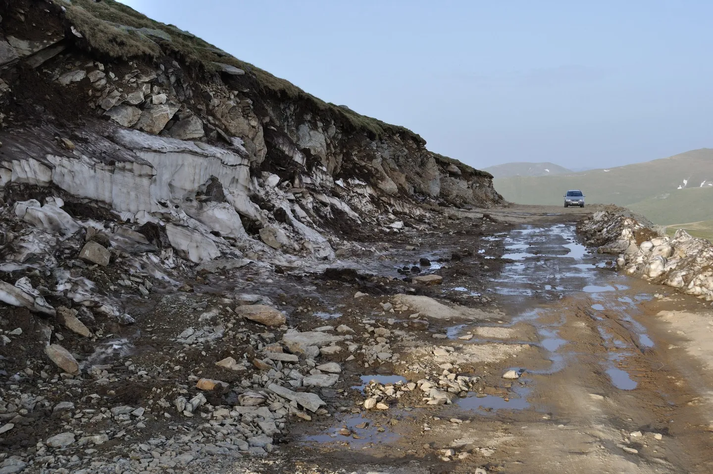
What followed is not in dispute. By 2011 Adevărul was describing a road that had been effectively abandoned for more than seventy years, passable only in off-road vehicles. When the same paper wrote about it in 2007, it was “mostly unpaved, only traces of asphalt”, and it recommended a bicycle.
That changed quickly and expensively. On 5 September 2008 the road authority signed a contract with the construction company Romstrade to modernise the DN67C from Bengești through Novaci, Rânca and Obârșia Lotrului to Sebeș, worth 1.23 billion lei plus VAT. Adevărul put the cost at €385 million, about €2.6 million per kilometre. By August 2011 the road was, the paper reported, about 98 per cent done, with some seven kilometres of asphalt still missing between Rânca and Obârșia Lotrului.
The contract ended up in court. In one case, over work and materials billed but not delivered in 2009 and 2010, the company’s owner Nelu Iordache and officials of the regional roads directorate in Craiova were acquitted because the statute of limitations had run out. In a second, over a clause that paid the builder in bills of exchange at a floating exchange rate, Iordache was sentenced to six years for complicity in abuse of office; the sentence became final in November 2021.
The highest road in Romania
The DN67C is 148 kilometres long, from Bengești to Sebeș. Its highest point, the Urdele pass, is usually given as 2,145 metres; one source puts it at 2,141. The Argeș County Council gives the top of the Transfăgărășan as 2,034 metres, so whichever figure you use, the Transalpina is the higher road.
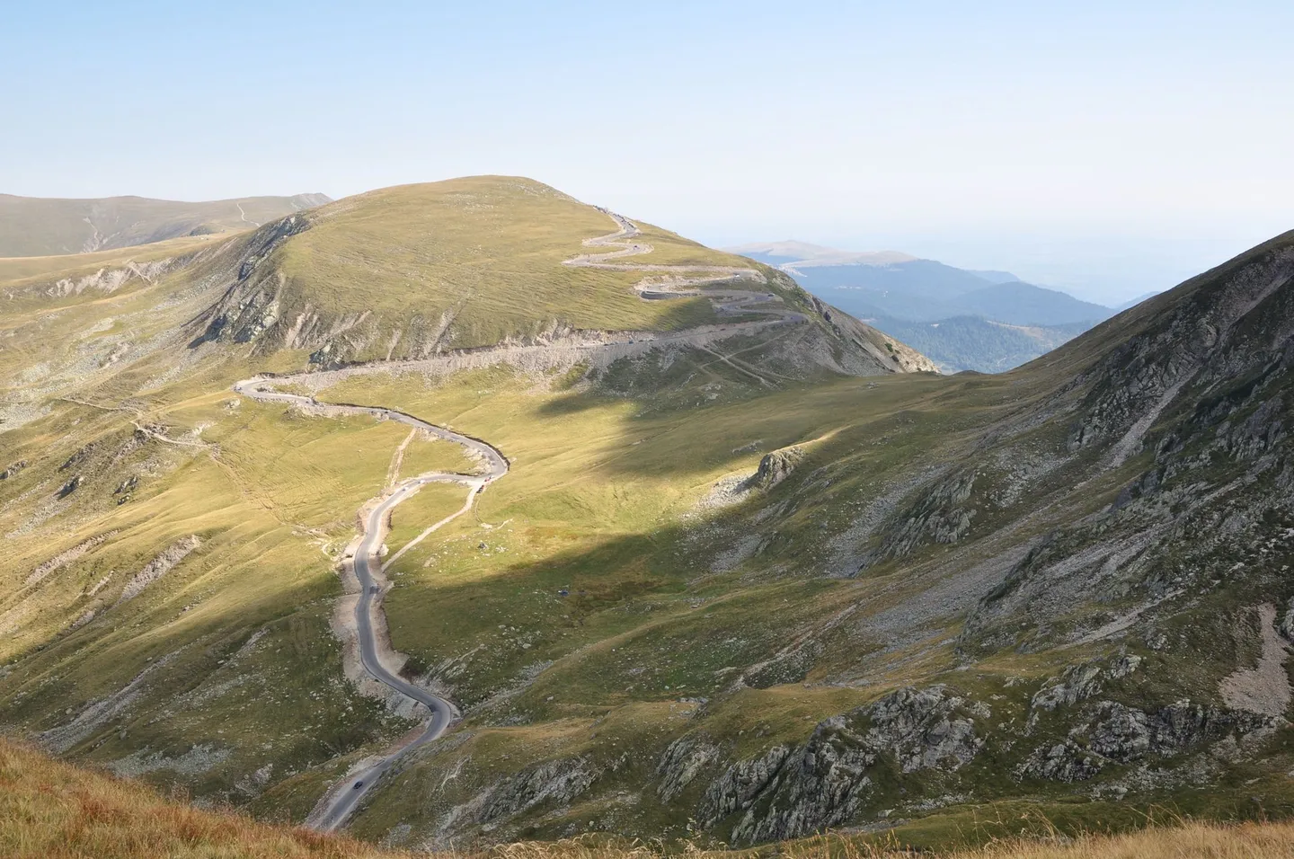
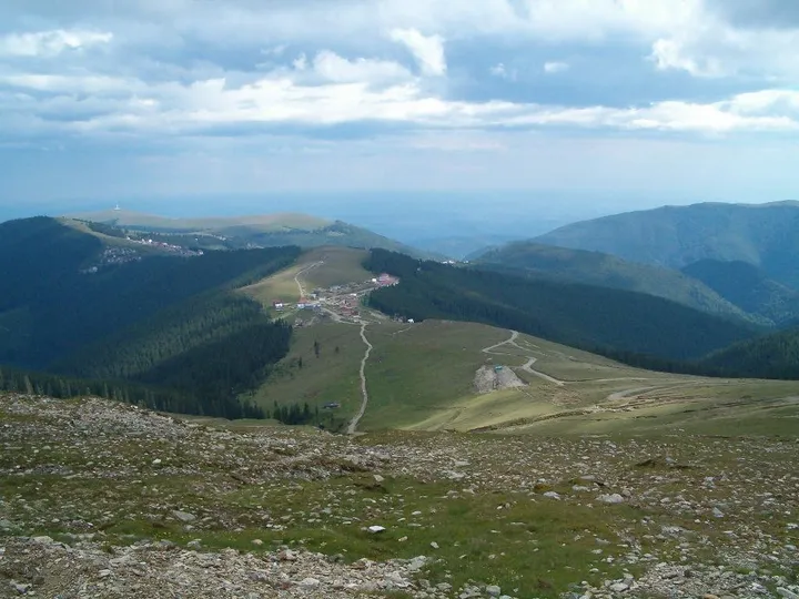
The high section runs through the Parâng mountains past the resort of Rânca, at 1,600 metres. Rânca was a mountain resort long before the road was paved: the Novaci brochure counts 1,052 tourists there in 1934 alone, in cabins built with money from the same Novaci cooperative bank. (The brochure itself gives two different dates for the first cabins, 1930 and 1937.)
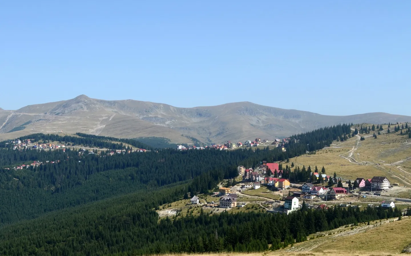
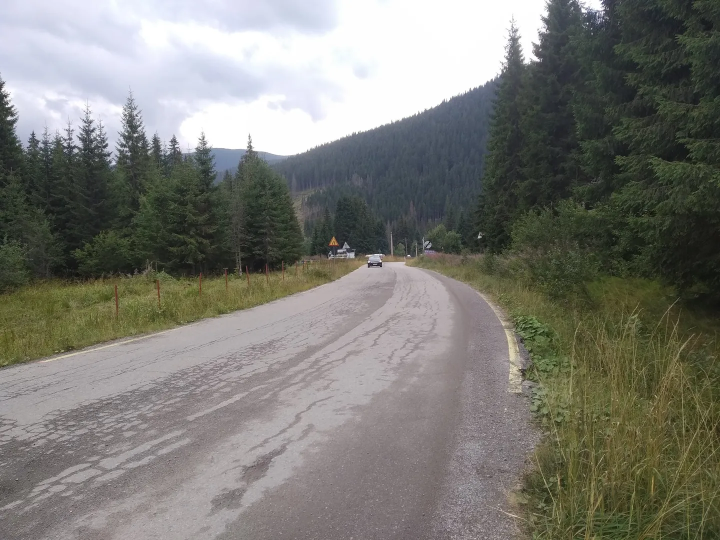
Beyond the pass the road drops through forest to the junction at Obârșia Lotrului and continues north to Sebeș.
Still a shepherds’ road
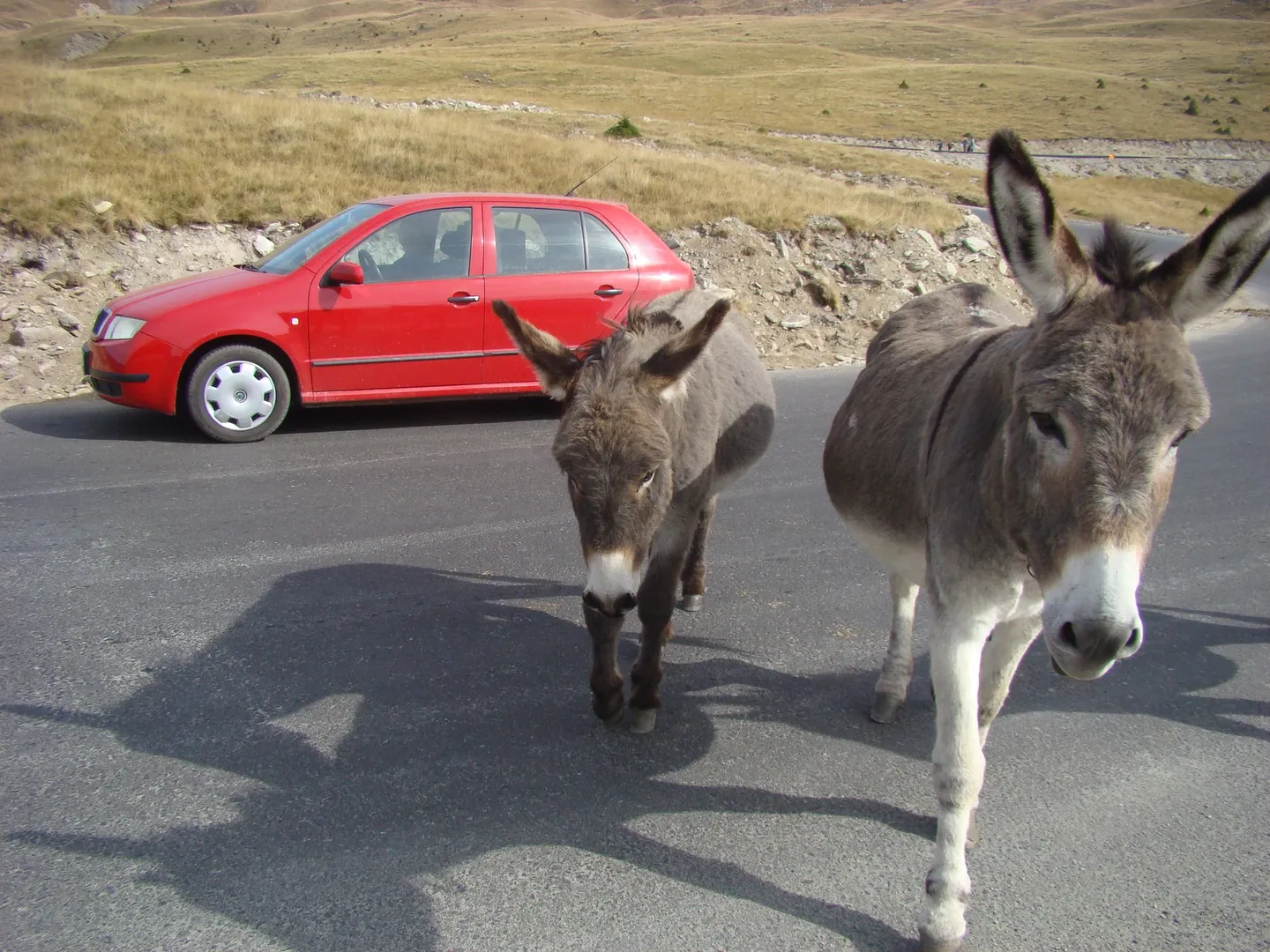
The flocks never left. Novaci’s shepherds still move their sheep across the mountains along the old routes, and at Stâna Ștefanu, about eighteen kilometres beyond Rânca and ten before Obârșia Lotrului, a family sheepfold has become a stop for travellers.
Before you go
It is a summer road, and the dates change every year. The road authority CNAIR closes the high section when the weather turns and reopens it when the snow has gone. In 2025 the stretch between Rânca and Obârșia Lotrului closed on 30 September, and the section on to Curpăt followed on 16 October, for “blizzard, avalanches, rockfalls, landslides and black ice”. In 2026 the whole stretch from Rânca to Curpăt reopened on 29 May.
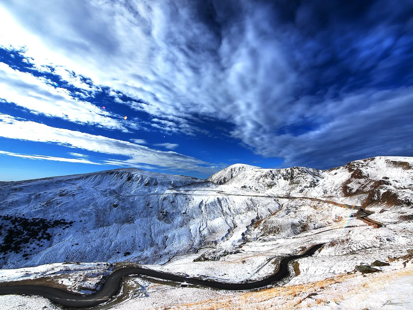
There is no night driving on the high section. In 2026 the road between Rânca and Curpăt was open from 09:00 to 20:00 until the end of June and from 07:00 to 21:00 from 1 July, and closed outside those hours. The speed limit is 30 km/h, and vehicles over 3.5 tonnes are not allowed. CNAIR can close it at short notice for fog, storms, avalanches or rockfalls.
Leave the bears alone. When the mountain roads reopened in 2025, CNAIR’s director, Cristian Pistol, asked drivers not to try to interact with the bears: “bears are wild animals”.
Drive it yourself
The day-by-day route, real costs and where to sleep are in the itinerary. The planner draws it on the map from wherever you start.
Sources
- Consiliul Județean Gorj — Turismul montan (Transalpina, Drumul Regelui)
- Primăria Novaci — Drumurile transhumanței ciobanilor novăceni pe Transalpina (brochure)
- Adevărul — Transalpina, drumul regelui (2007)
- Adevărul — Transalpina, cea mai înaltă șosea din țară (2011)
- Alba24 — Dosarul Transalpina: decizie definitivă (2020)
- EVZ — Dosarul Transalpina: condamnarea de 6 ani rămâne definitivă (2024)
- news.ro — CNAIR închide încă un sector din Transalpina (2025)
- news.ro — CNAIR: se redeschide circulația pe Transalpina (2026)
- Știrile ProTV — Se redeschide circulația pe Transalpina (2026)
- HotNews — Circulația pe Transfăgărășan și Transalpina redeschisă (2025)
- Consiliul Județean Argeș — Transfăgărășan
- shtiu.ro — Pasul Urdele (2021)
Every fact in this story comes from the sources above. Where they disagree, the text says so. Found a mistake? Write to hello@roadcutco.com.