Großglockner: the road Austria built to the glacier
Engineer Franz Wallack planned it, governor Franz Rehrl pushed it through, and up to four thousand men built it in five years. It opened in August 1935 — and the glacier at its end is now breaking apart.
On 22 September 1934, almost a year before anyone was supposed to drive it, the governor of Salzburg took a Steyr 100 up an unfinished mountain road and over the Hochtor, 2,504 metres up on the border between Salzburg and Carinthia. Franz Rehrl had been the political force behind this road for a decade.
The Großglockner High Alpine Road opened officially the following summer. GROHAG, the company that runs it, counts about a million visitors a year, and since 2015 the whole road — nearly fifty kilometres of it, with more than a hundred bridges and buildings — has been a listed monument.
An old crossing, a new road
People were crossing the mountains here long before there was a road. GROHAG says the route over the Hochtor was in use three and a half thousand years ago, and that Celts and Romans used it as the shortest way between the north and Venice. An exhibition at the Hochtor on the pass sanctuary shows what has come out of the ground up there: finds that span three and a half millennia, among them medieval fabrics, shoes and the tools of the gold miners.
In 1856 the Emperor Franz Joseph and the Empress Elisabeth visited. The viewpoint above the glacier is named after him — Kaiser-Franz-Josefs-Höhe — and in 2026 an exhibition there marks 170 years since that visit.
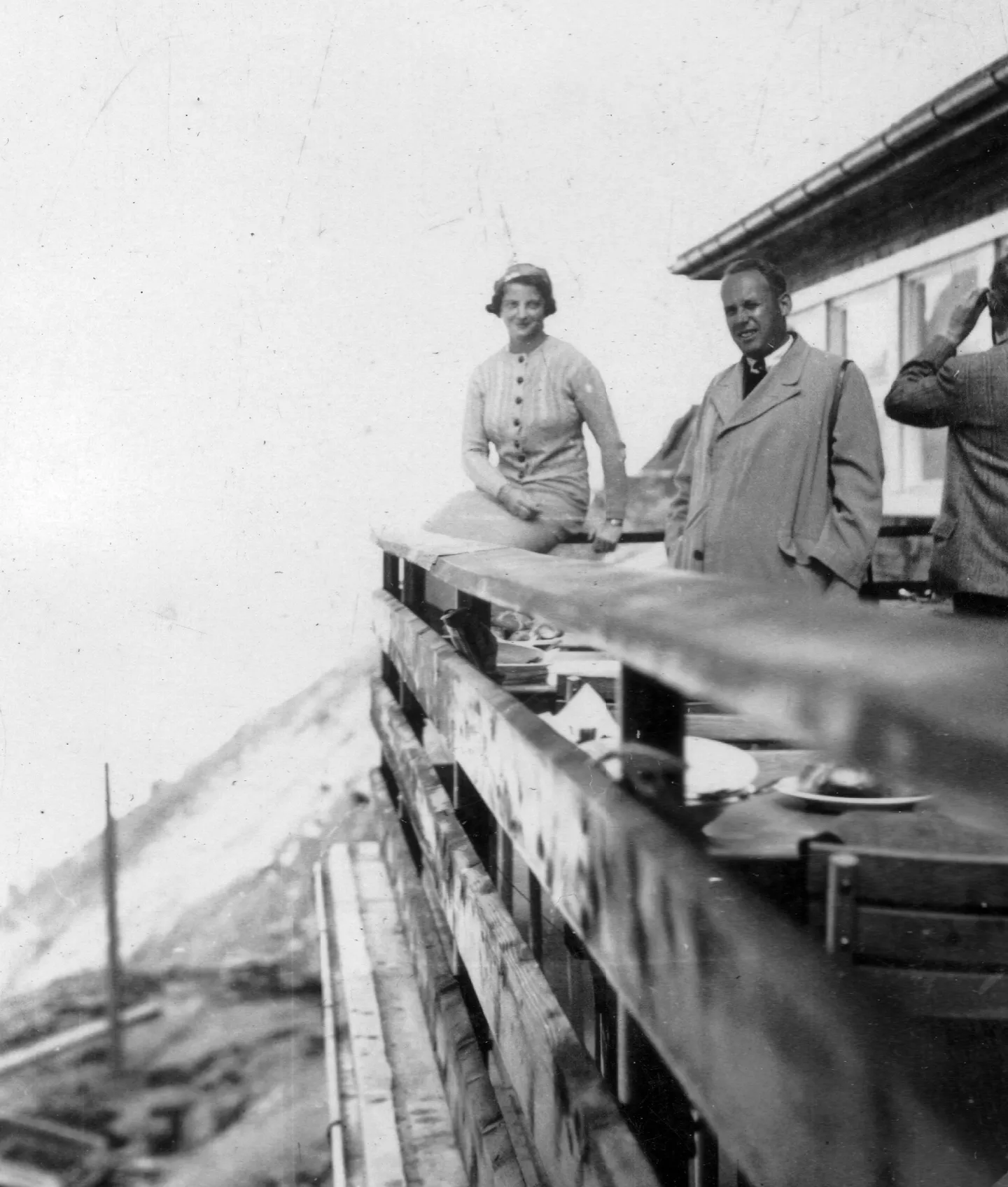
The road itself began with an engineer. Franz Wallack started planning it in 1924. In the summer of 1925, by GROHAG’s account, he went to look at how everyone else had done it — thirty Alpine road passes and thirteen main crossings of the Alps. Rehrl, the provincial governor, pushed it through.
Four thousand men
The first charge was blasted on 30 August 1930. GROHAG and the Hohe Tauern National Park both put the workforce at up to four thousand men, and GROHAG credits the project with the first bad-weather regulation for workers in Austria.
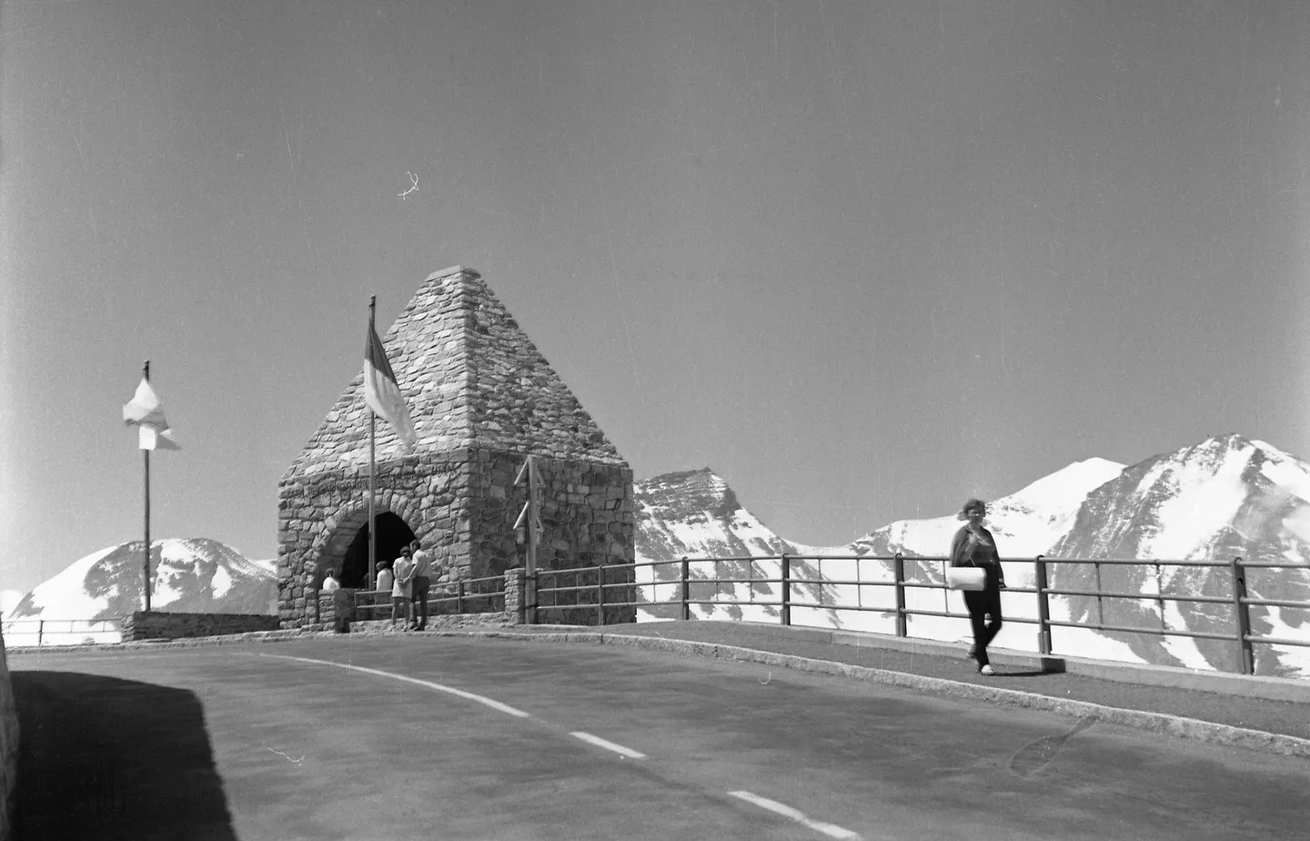
Not all of them came home. At the Fuscher Törl, a memorial designed by the architect Clemens Holzmeister commemorates the engineers and workers who died building the road — fifteen of them, according to the Salzburgwiki of the Salzburger Nachrichten. GROHAG mentions the memorial but gives no number.
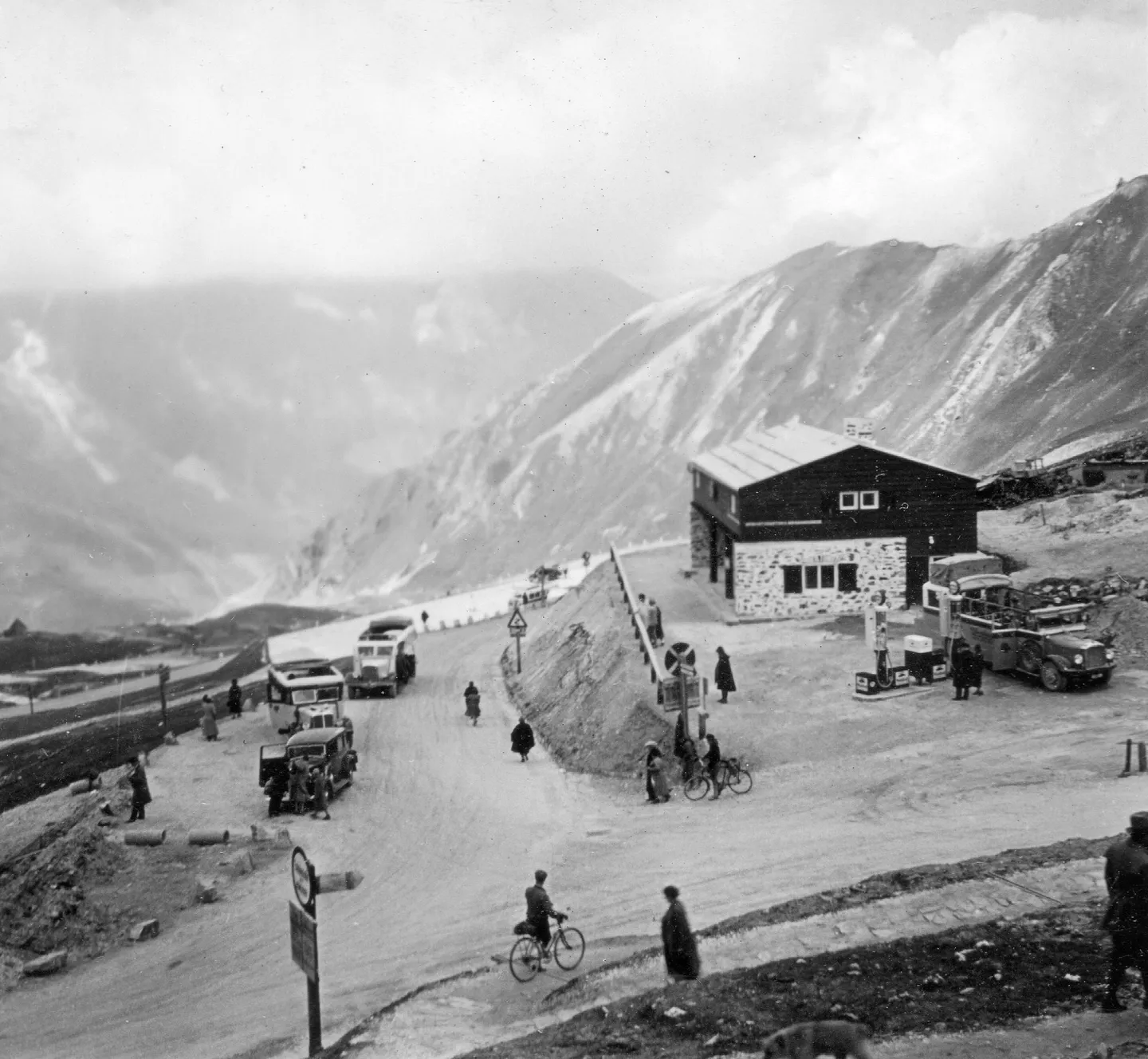
On 3 August 1935 the Federal President, Wilhelm Miklas, opened the road at the Hochtor. The very next day it hosted the first International Großglockner Race for cars and motorcycles, run on a road surfaced with sand.
Forty-eight kilometres, thirty-six bends
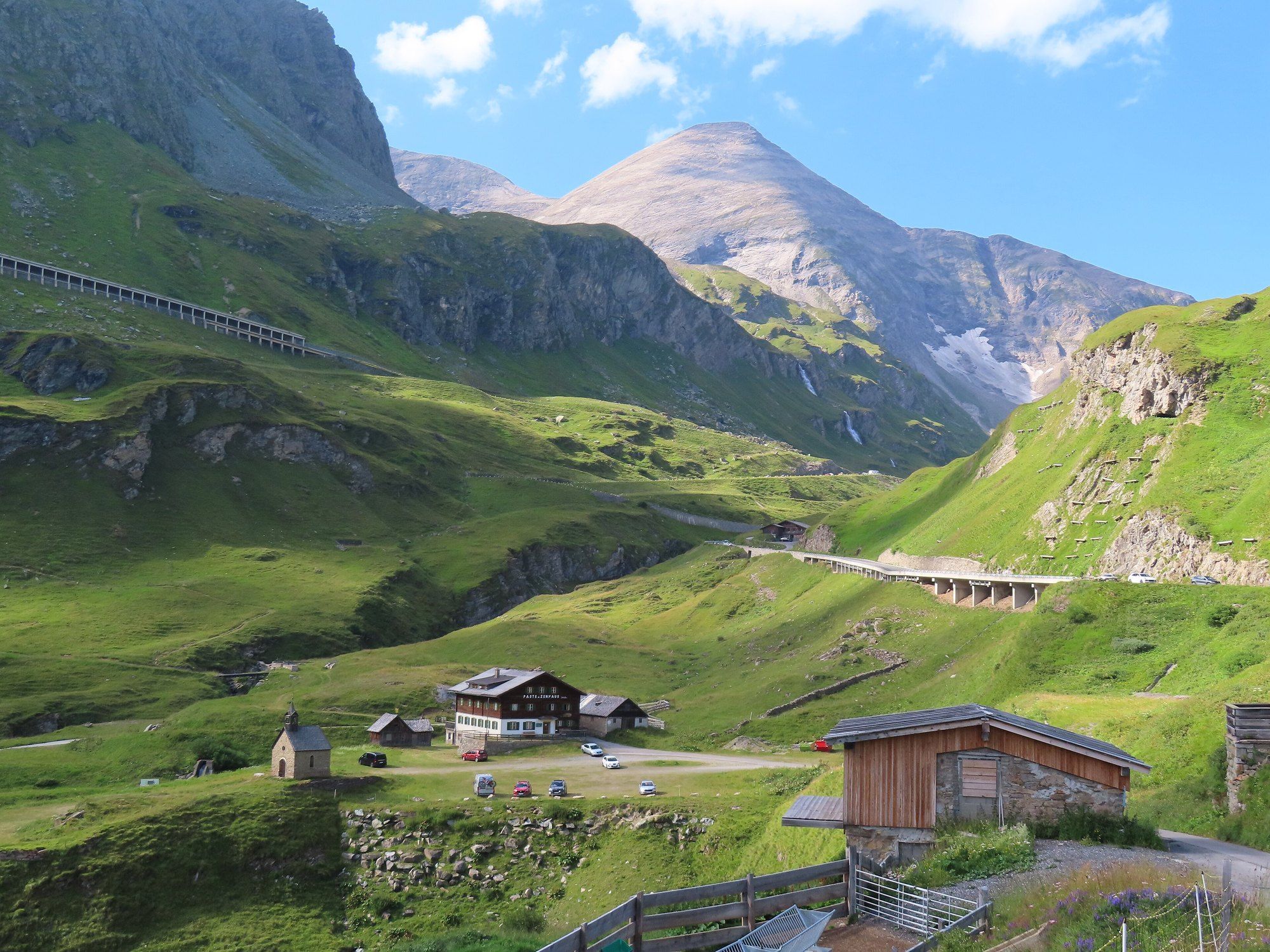
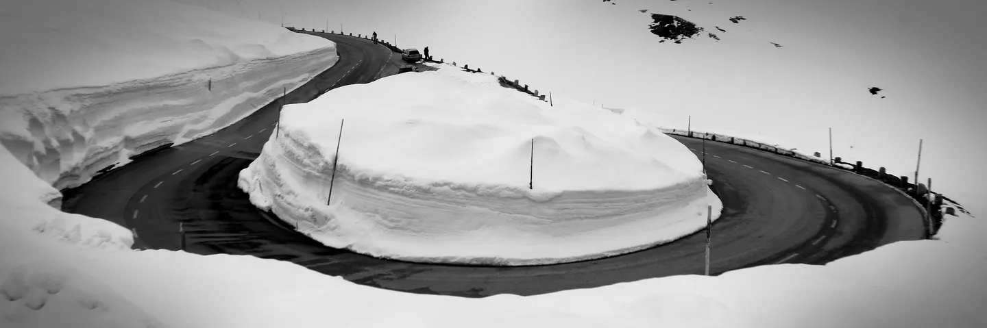
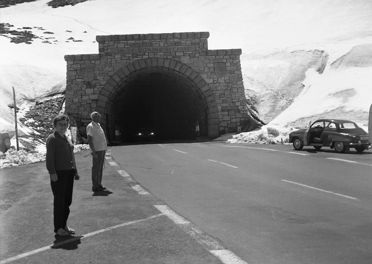
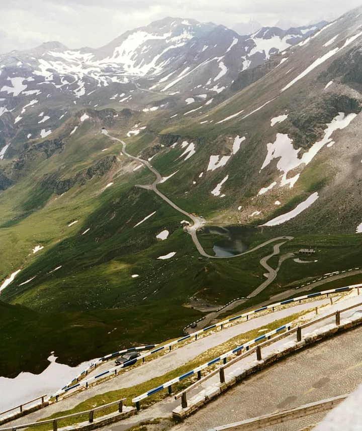
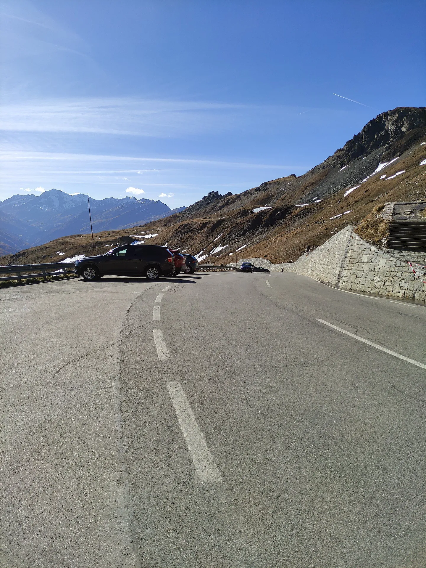
The road runs for 48 kilometres from the Salzburg side down to Heiligenblut in Carinthia, through 36 hairpins. On the main road the top is the Hochtor, at 2,504 metres. Two side roads lead further: one climbs a cobbled road to the Edelweißspitze at 2,571 metres, the highest point of the whole road; the other runs to Kaiser-Franz-Josefs-Höhe at 2,369 metres, above the Pasterze glacier. The Hohe Tauern National Park calls the Fuscher Törl, at 2,428 metres, the best photo spot on the road.
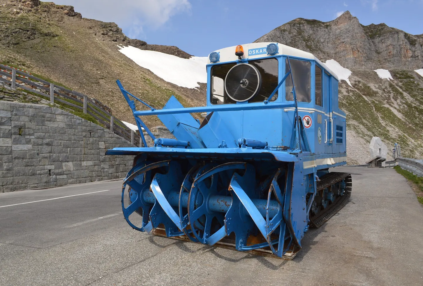
Wallack stayed with his road. In 1953 he developed a rotary snowplough for it.
The glacier at the end of the road
Kaiser-Franz-Josefs-Höhe looks down on the Pasterze glacier. The Austrian Alpine Club has measured the Pasterze since 1891. In its report for 2024/25, the glacier’s tongue retreated by 54 metres, the eighth-largest retreat of any glacier in Austria; 94 of the 96 glaciers the club observed shrank.
In July 2026 the club reported that the tongue had sunk by 7.3 metres in a single year and lost 12.4 million cubic metres of ice. The ice that still connects the tongue to the glacier above it had narrowed from 230 metres wide in 2020 to 120 metres in August 2025, and the club expected it to break off within months.
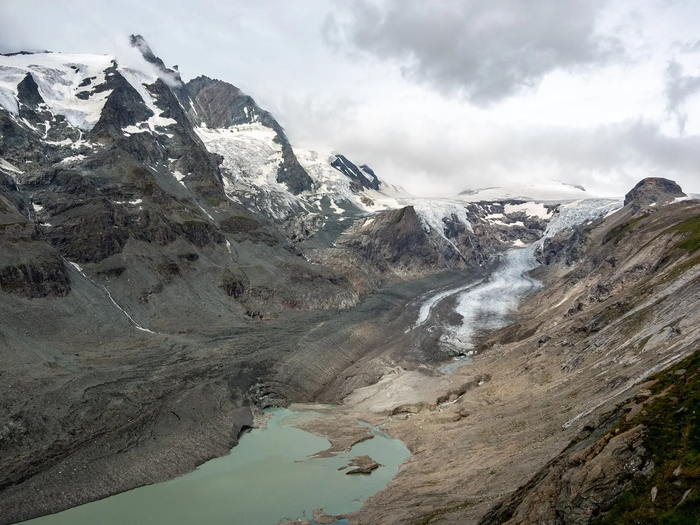
If you drive to the end of the road, this is what you are looking at: a glacier measured every year since 1891, coming apart.
Before you go
It is a toll road. In 2026 a day ticket for a car costs €46.50, or €36.50 after 18:00; an electric car pays €40.
It has opening hours. The 2026 season began on 25 April and runs to the start of November. Until the end of May the road is open from 06:00 to 20:00, in June, July and August from 05:30 to 21:00, and from September from 06:00 to 19:30, with the last entry 45 minutes before closing. Outside those hours, GROHAG says, there is an official ban on driving at night.
Check the status on the day. The road can close or require snow chains at short notice, and motorcycles and bicycles can be turned away in bad weather. GROHAG posts the current status on the front page of its website.
Look for the animals in the morning. GROHAG says the morning is the best time for a chance of seeing ibex, and that marmots can be seen all along the road — though in May and October they may be hibernating.
Cyclists are advised to ride before 08:00 or after 15:00 to avoid the traffic.
Drive it yourself
The day-by-day route, real costs and where to sleep are in the itinerary. The planner draws it on the map from wherever you start.
Sources
- GROHAG — History of the Großglockner High Alpine Road
- GROHAG — 90 Jahre Glocknerstraße
- GROHAG — Exhibitions
- GROHAG — Prices and opening times
- GROHAG — Cycling
- Nationalpark Hohe Tauern — Großglockner Hochalpenstraße
- Salzburgwiki — Großglockner Hochalpenstraße unter Denkmalschutz
- Salzburgwiki — Fuscher Törl
- Österreichischer Alpenverein — Gletscherbericht 2024/25
- Österreichischer Alpenverein — Pasterze am seidenen Faden (July 2026)
Every fact in this story comes from the sources above. Where they disagree, the text says so. Found a mistake? Write to hello@roadcutco.com.