Deutsche Alpenstraße: the road the Nazis never finished
Bavarian tourism officials dreamed of it in the late 1920s. Hitler made it a showpiece in 1933, the war stopped it in 1939, and the plan was never completed. Today it is a signposted holiday route from Lake Constance to the Königssee.
In October 1933, in the Bavarian interior ministry in Munich, Adolf Hitler and the engineer Fritz Todt bent over a table-sized, three-dimensional model of the Alps with several possible routes marked on it. According to the historian Thomas Zeller, writing in the Historisches Lexikon Bayerns, Hitler favoured a line over the Hochgrat in the Allgäu, at 1,833 metres. A road that would cross the Kampenwand was described as a “really big coup”.
Neither was ever built. What was built, in pieces and over half a century, is the Deutsche Alpenstraße — the German Alpine Road. Its official route today runs for 484 kilometres from Lindau on Lake Constance to Schönau am Königssee. It is a pleasant holiday drive. It was also, in Zeller’s words, a showpiece and propaganda project of the Nazi dictatorship.
A tourists’ idea
Bavarian tourism boards were worried after the First World War. Switzerland and Austria were building mountain roads for motorists, who tended to be wealthier than railway passengers, and towns competed for them. Zeller lists the competition: the Great Dolomite Road in Italy, opened in 1909; the Gaisberg road in Austria, opened in 1929; the Black Forest High Road in Baden. Supporters of a Bavarian road pointed out that Austria, a poorer country, was paying for a road over the Großglockner.
Exactly when the idea of a road along the whole Bavarian Alps was born is unclear. The official route, in a chronicle written by the German motoring club ADAC, and the operators of the Rossfeld road both date it to 1927, when a doctor named Knorz from Prien am Chiemsee proposed joining the valleys between Lake Constance and the Königssee with one road. Zeller says only that local tourism associations were discussing a “Queralpenstraße” or “Bavarian Alpine Road” in the late 1920s, and he calls the claim of Füssen’s mayor in 1932, that it had been discussed for more than thirty years, “greatly exaggerated”.
The sources do not even agree on the doctor’s first name. The ADAC chronicle calls him Dr. Karl Knorz. Zeller identifies him as the medical officer August Knorz (1876–1935), head of the hospital in Prien and a member of the Nazi party, who promoted the road on the model of the motor roads of Fascist Italy. In September 1932, in a supplement of the Nazi party newspaper, he wrote that on such a road “the German person” should enjoy “the German landscape”.
Füssen had a practical reason to want it: the shortest way between King Ludwig II’s castles of Linderhof and Neuschwanstein ran through Austria. In 1932, according to the ADAC, the Munich-based Deutscher Touring Club had plans drawn up. Money was the problem. When the Nazi group in the Bavarian parliament brought a motion to the budget committee in January 1933, the Bavarian People’s Party ruled out state funding, and the highest state building authority refused to spend public money on “luxury buildings”. The motion passed only after it was changed so that associations of the towns that would benefit were to pay. As long as Bavaria was still a parliamentary democracy, Zeller writes, the Alpine Road was a contested project, and its loudest supporter was the Nazi party.
Hitler’s road
That changed within weeks. On 28 April 1933 the new Nazi prime minister of Bavaria, Ludwig Siebert, listed the road among his job-creation schemes before a parliament that had already been brought into line, and could point to Hitler’s special interest. In September 1933 Hitler promised his support: it had to be a road that the world would notice. The president of the Reichsbank, Hjalmar Schacht, still refused to provide money that November, but the road became a matter for the Reich, under the Inspector General for German Roads — Fritz Todt, who was also planning the Reichsautobahn network.
The name changed too. According to the ADAC chronicle, Hitler personally replaced the technical “Queralpenstraße” with “Deutsche Alpenstraße”. After that, Zeller notes, Knorz was rarely mentioned in Nazi propaganda.
The plans grew. A newspaper article of July 1934, cited by Zeller, mentioned six passes above 1,500 metres, among them the Rotwand and the Fockenstein, and the plans called for 105 bridges, ten viaducts and 15 tunnels totalling 2,195 metres. Different plans put the total length at 420, 465 or 470 kilometres.
Building it, 1933–1939
Work began in November 1933. The ADAC chronicle and the Rossfeld road’s operators name Inzell; Zeller says the work started in the Allgäu and in the Berchtesgaden area. The first section, according to the ADAC, ran from Inzell to Ramsau. Between Mauthäusl and Schneizlreuth the new road replaced an old state road with gradients of up to 28 per cent with a line of 11 per cent, and the engineers moved it aside to spare a field of glacial potholes, the Gletschergarten.
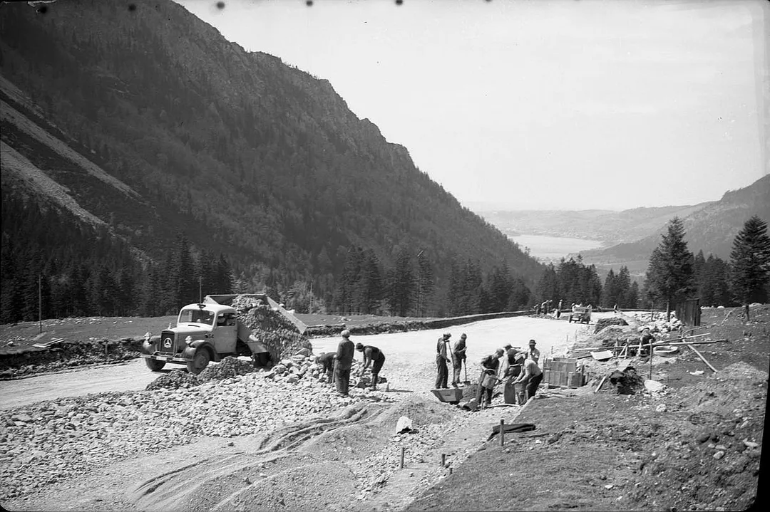
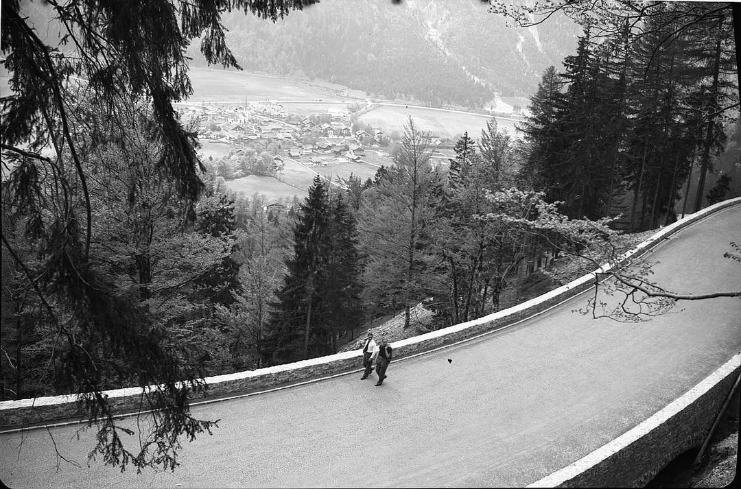
The ADAC chronicle describes the standards: a normal width of nine metres, widened to eleven on blind bends, and gradients of five to six per cent, with ten to eleven as the absolute maximum. In 1934 alone, 140,000 cubic metres of rock were blasted. At times, it says, up to 25,000 men were at work along the road. Propaganda celebrated it as a job-creation programme. Todt described the task as building a technical work that would not disturb the Alpine landscape but heighten the experience of the journey — and urged motorists to thank the “Führer” for the road.
The eastern part was built with particular urgency. It made the journey easier to the Obersalzberg above Berchtesgaden — where Hitler had a residence, and which the Obersalzberg Documentation Centre calls the most important centre of Nazi power after Berlin — and to Todt’s own holiday house in Ramsau. Zeller writes that when mayors, walkers and conservationists objected to the route, Todt made clear that their interests came second. The costs were high: according to contemporary propaganda, the section from Ruhpolding to Ramsau alone cost 11.6 million Reichsmarks. In 1938 the section over the Sudelfeld pass was finished.
Todt was moved on in 1938, the ADAC chronicle says, to build the Westwall fortifications on the French border. In the war, the Organisation Todt that bore his name built military projects such as the Atlantic Wall; from 1942, the chronicle says, that work cost the lives of many prisoners of war, forced labourers and concentration camp prisoners. Work on the Alpine Road itself had stopped when the war began.
How much had been finished by 1939, when Germany’s war of aggression ended the project, is disputed again. The ADAC chronicle says 275 kilometres were open to traffic. Zeller counts 131 kilometres built or rebuilt and 36 more under construction. On the Oberjoch in the Allgäu, the pass road had been renamed the “Adolf-Hitler-Pass”.
Never finished
After the war the Oberjoch got its name back. Between 1952 and 1966, under the federal transport minister Hans-Christoph Seebohm, about 145 kilometres were rebuilt or newly built as federal roads. But Seebohm would not go further. In 1965, at a confidential meeting in Munich with a newly founded Alpine Road interest group, he told them, to their displeasure, that the road had been a “Nazi plan”, and that a route kept entirely inside Germany was out of step with European unification. Mountaineers and conservationists, silenced under the dictatorship, now warned against it in public. A planned road over the Hochplatte (2,082 m) near Linderhof failed in 1965 after the German Alpine Club warned Seebohm about the nature reserve there.
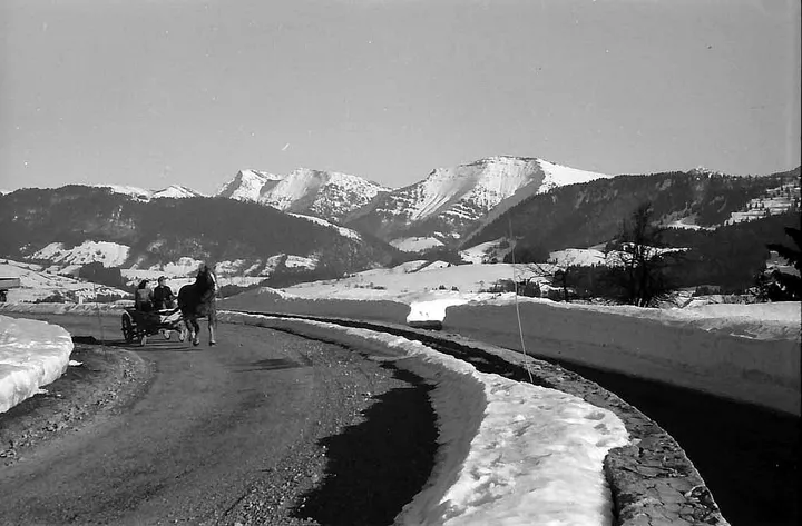
The ADAC chronicle tells a more cheerful story, in which the 450 kilometres were all but finished by about 1960. Zeller’s conclusion is that none of the pre-war plans was ever completed, and that the road’s obvious closeness to Hitler did not help. In 1962 a Bavarian television programme called it “a labyrinth with many ends”. The ADAC lists some of what was never built: a line over the Kenzen pass in the Ammergau Alps, a direct link along the Hirschbach between Lenggries and Rottach-Egern, and a road from the Tegernsee to Bayrischzell past the Rotwandhaus at up to 1,735 metres. The high crossings, Zeller writes, were left to walkers.
The road today
The route you drive now is a holiday road assembled from existing roads, and it differs from the original plans. A working group began to market it in 1999, a tourism association followed in 2007, and since 2017 it has been signposted all the way. The official route signs it in both directions.
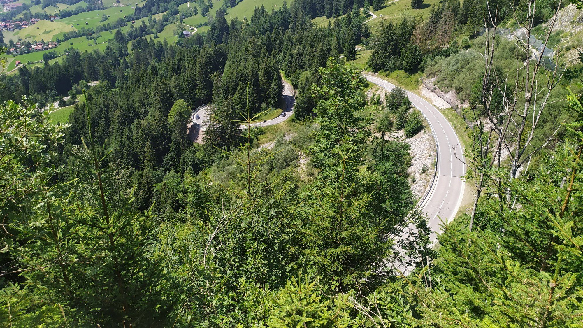
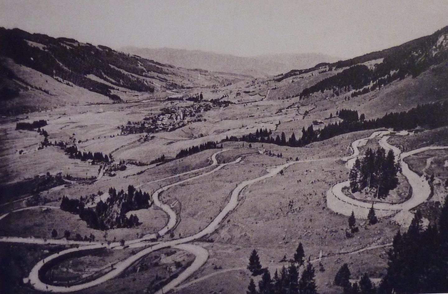
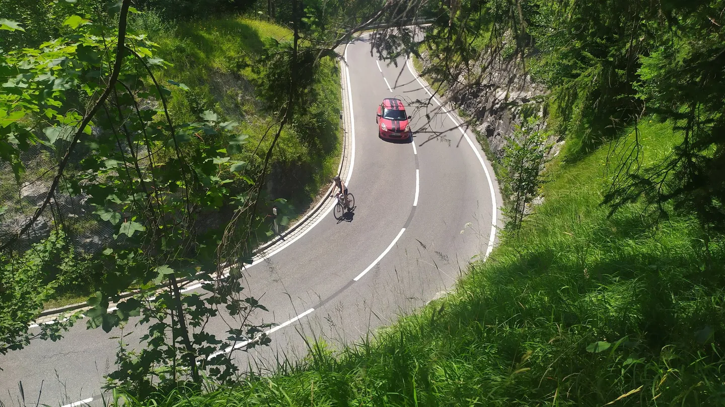
It has two set pieces. In the Allgäu, beyond Bad Hindelang, it climbs the Oberjoch, a pass road that the ADAC says was built in 1895, long before it became part of the Alpine Road; the official route counts 106 bends.
At the eastern end is the Rossfeld road above Berchtesgaden, built from 1937 to 1940 as the closing loop of the Alpine Road, according to its operators. It was not in the 1933 plan, which ended at the Königssee. When the war began, after about fifteen months of work, some fifteen kilometres could be driven; only the 800-metre summit section over the Hahnenkamm was missing. The Berchtesgaden district administrator Theodor Jakob persuaded Seebohm to pay for the rest, work resumed in 1953, and the road opened in 1955.
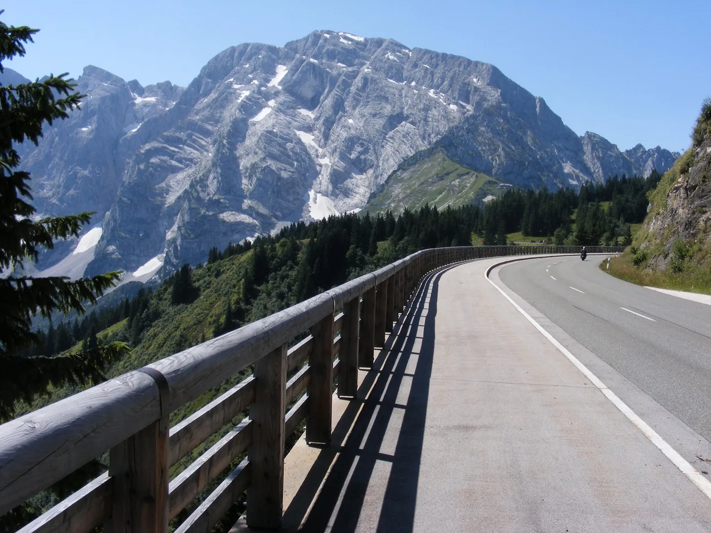
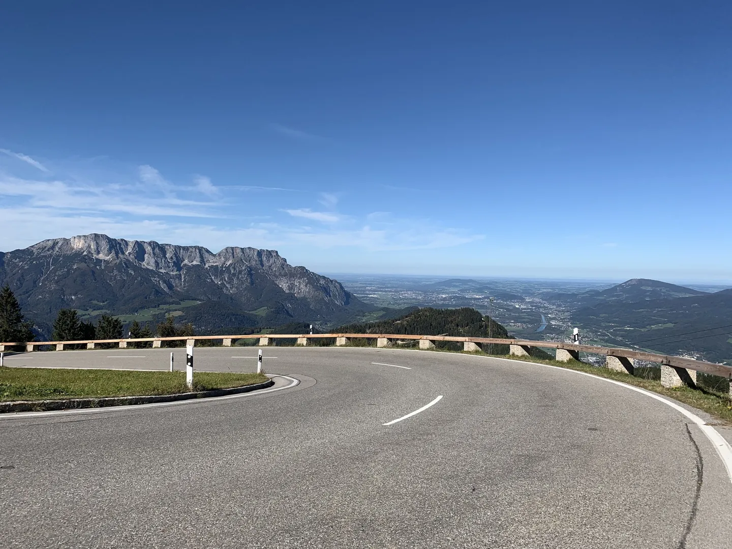
The Rossfeld road is 15.4 kilometres long, climbs to 1,570 metres and has a maximum gradient of 13 per cent. Part of its summit section runs along the German–Austrian border, and part of it on Austrian territory. Its operators call it Germany’s highest panoramic road, and about 100,000 vehicles use it every year. The southern approach climbs through the Obersalzberg.
Before you go
Tolls. Germany has no general toll for cars, according to the ADAC; only some tunnels and private roads charge. The Rossfeld road is one: it is classed as a private federal road, because it leads nowhere else, and its tolls pay for its upkeep. A car with its passengers pays €9.50, a motorcycle €6.
Season. The Rossfeld road is open all year, according to its operators.
No camping. Sleeping in your vehicle and camping are not allowed along the Rossfeld road or in its car parks.
Where it starts and ends. The official route runs between Lindau and Schönau am Königssee and is signposted in both directions, so you can start at either end.
Drive it yourself
The day-by-day route, real costs and where to sleep are in the itinerary. The planner draws it on the map from wherever you start.
Sources
- Historisches Lexikon Bayerns — Deutsche Alpenstraße (Thomas Zeller, 2023)
- Deutsche Alpenstraße — Chronik (ADAC, published by the official route)
- Deutsche Alpenstraße — Etappen (official route)
- Deutsche Alpenstraße — Von Lindau bis zum Königssee (official route)
- Rossfeld Panoramastraße — Geschichte
- Rossfeld Panoramastraße — Über die Straße / Straßendaten
- Rossfeld Panoramastraße — Informationen, Mauterhebung & Preise
- Dokumentation Obersalzberg — Historic location
- ADAC — Maut in Deutschland
Every fact in this story comes from the sources above. Where they disagree, the text says so. Found a mistake? Write to hello@roadcutco.com.