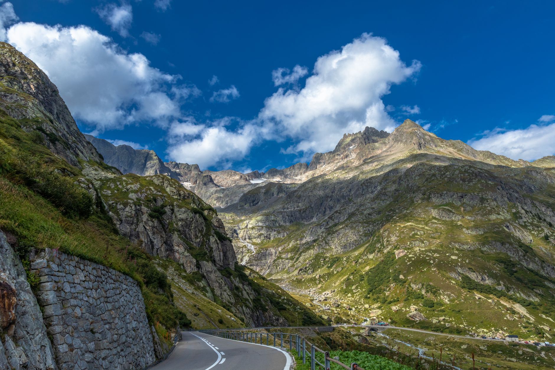
Route des Grandes Alpes: Lake Geneva to Nice (5 Days)
Drive France's classic Alpine crossing — 720 km over a dozen high passes including the Col de l'Iseran (2,764 m) — from Lake Geneva to the Mediterranean, day-by-day guide, where to sleep and real costs.
Rough estimate — fuel + nights at typical rates. Get an exact figure in the calculator.
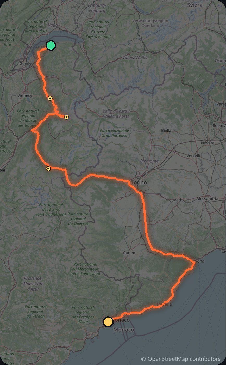
The Route des Grandes Alpes is the classic Alpine crossing: roughly 720 km from Lake Geneva to the Mediterranean at Nice, over more than a dozen high passes, including the Col de l’Iseran (2,764 m), the highest paved pass in the Alps. It is one of the world’s great driving roads — and the high cols open only in summer (roughly June to October). You drive on the right.
Day 1 — Thonon-les-Bains to Beaufort (110 km)
From Thonon-les-Bains on Lake Geneva, climb over the Col des Aravis and Col des Saisies into the cheese country of the Beaufortain.
Day 2 — Beaufort to Lanslebourg over the Iseran (135 km)
Cross the Cormet de Roselend, head up the Isère valley through Val d’Isère, and over the mighty Col de l’Iseran (2,764 m) into the Maurienne at Lanslebourg.
Day 3 — The Galibier and Izoard to Guillestre (145 km)
Climb the Col du Télégraphe and the legendary Col du Galibier (2,642 m), then the lunar Col d’Izoard toward the Queyras.
Day 4 — Vars and the Bonette to the southern Alps (150 km)
Over the Col de Vars and the high Cime de la Bonette — one of Europe’s highest through-roads — down toward the Mercantour and the Alpine south.
Day 5 — Down to Nice (180 km)
Descend the Var valley through the Mercantour National Park to the Riviera, finishing at the Mediterranean in Nice.
Costs
Use the cost calculator to price fuel and nights for your exact dates. France uses no vignette and the mountain passes are all free; you only pay autoroute péage on the motorways used to reach the Alps, and a few tunnels (such as the Fréjus) if you use them. Over 720 km, fuel is the main cost, plus mountain hotels or refuges. Check each col is snow-free and open, start early, and allow far more time than the distance suggests.
Where to stay on this route
Pick your dates and see what is available in Nice.
See places to stay — Nice →Affiliate link — we may earn a commission at no extra cost to you.
🚦 Know before you go
Tolls. France uses no vignette; the mountain passes (Iseran, Galibier, Izoard…) are all toll-free, but you pay autoroute péage on the motorways used to reach the Alps, and a few road tunnels (e.g. the Fréjus) carry separate tolls.
Good to know. The high passes — including the Col de l'Iseran (2,764 m), the highest paved pass in the Alps — only open roughly June to October; check each col is snow-free, start early, and allow far more time than the distance suggests.
Estimate your exact costs in the cost calculator. Prices are approximate — check official sites before you travel. Some links are affiliate links.
Plan this trip
Where to sleep
Hotels & B&Bs → Holiday homes & apartments → Campsites (bookable) → Campervan & overnight spots →Tours & tickets
Find things to do →Affiliate link — we may earn a commission at no extra cost to you.
Drive on from here
New road trips in your inbox
One email when we publish a new European route — the full guide, map and real costs. No spam, unsubscribe anytime.