Tenerife Teide Loop Road Trip (3 Days)
A 3-day island loop around Mount Teide on Tenerife — day-by-day route through the volcano park, Anaga forest and the Los Gigantes cliffs, with real costs and year-round tips.
Rough estimate — fuel + nights at typical rates. Get an exact figure in the calculator.
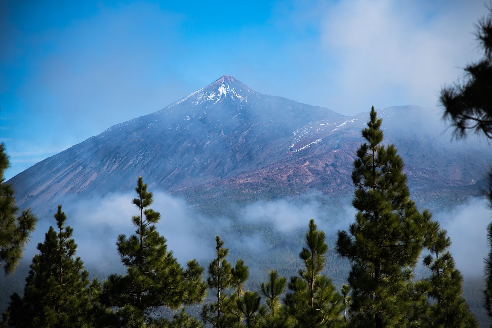
Tenerife’s Teide loop packs an astonishing range into roughly 200 km: black-sand coast, an ancient laurel forest, sea cliffs and a volcanic moonscape crowned by Mount Teide (3,715 m), the highest peak in Spain and in the whole Atlantic. The island sits off the coast of Africa, so this is a genuine year-round drive — a winter-sun option when northern Europe is grey.
The Canary Islands are part of Spain, so you drive on the right, and there are no tolls on Tenerife. Most visitors fly in and rent a car. The climate splits in two: a lush green north and an arid, sunny south. Teide’s summit, though, can be cold or snowy even when the coast is warm — pack a layer. To stand on the very summit cone you need a free permit (limited daily numbers, book well ahead at the Teide National Park site) or a ticket for the cable car, which climbs to about 3,555 m.
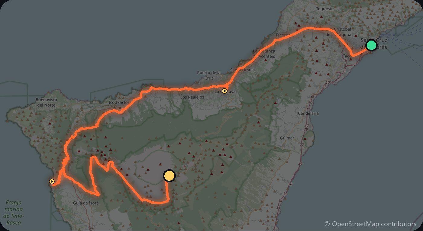
Day 1 — Santa Cruz to Teide National Park (70 km)
From Santa Cruz de Tenerife, climb through the historic town of La Orotava with its colonial balconies, then up into Teide National Park, a UNESCO World Heritage Site. Walk the trails around the Roques de García rock formations inside the vast Cañadas caldera, and ride the teleférico (book ahead). Sleep near the park or in the Orotava valley.
Day 2 — Teide to Los Gigantes and Masca (75 km)
Descend west to the towering Los Gigantes sea cliffs, then take the winding road to Masca, a tiny village perched above its dramatic gorge. Continue north to Garachico, a whitewashed old harbour town rebuilt after a 1706 eruption, with volcanic rock pools. Overnight on the northwest coast.
Day 3 — Anaga and back to Santa Cruz (55 km)
Finish in the Anaga rural park in the northeast: ancient laurisilva (laurel) forest, misty ridges and tight hairpin roads. Drive the crest, stop at a mirador, then drop back down to Santa Cruz de Tenerife.
Costs
Use the cost calculator to price fuel and nights for your dates. Budget for accommodation, fuel for about 200 km of mountain driving, car rental (most visitors fly in), and a cable-car ticket if you ride to the top — book it early, as slots sell out. The summit permit is free but limited, so reserve ahead. Booking rooms and the car early saves the most.
Where to stay on this route
Pick your dates and see what is available in Santa Cruz de Tenerife.
See places to stay — Santa Cruz de Tenerife →Affiliate link — we may earn a commission at no extra cost to you.
Plan this trip
Where to sleep
Hotels & B&Bs → Holiday homes & apartments → Campsites (bookable) → Campervan & overnight spots →Tours & tickets
Find things to do →Affiliate link — we may earn a commission at no extra cost to you.
New road trips in your inbox
One email when we publish a new European route — the full guide, map and real costs. No spam, unsubscribe anytime.