
Normandy Road Trip: Rouen to Mont-Saint-Michel (4 Days)
Drive through Normandy from Rouen to Mont-Saint-Michel — Honfleur harbour, the D-Day beaches, the Bayeux Tapestry and the island abbey, with real costs.
Rough estimate — fuel + nights at typical rates. Get an exact figure in the calculator.
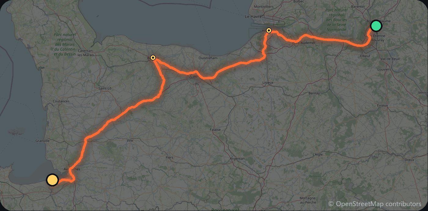
The route on video
Normandy pairs pretty harbours and cream-and-cider countryside with some of the most moving history in Europe. A relaxed drive west along the coast, ending at one of the continent’s great sights rising from the tidal flats.
Day 1 — Rouen to Honfleur (85 km)
Start in medieval Rouen (Monet’s cathedral, Joan of Arc), then down the Seine to the painters’ harbour of Honfleur on the estuary.
Day 2 — The D-Day beaches (90 km)
West to Bayeux for the famous tapestry, then the D-Day beaches — Omaha, the American cemetery and the batteries at Longues-sur-Mer.
Day 3 — Cotentin coast (110 km)
Down the Cotentin peninsula toward the bay, through apple-orchard country.
Day 4 — Mont-Saint-Michel
The island abbey of Mont-Saint-Michel, best at low tide and after the day-trippers leave. Park on the mainland and take the shuttle across.
Tolls and costs
France has autoroute tolls, but the coastal roads are toll-free and prettier. Mont-Saint-Michel parking is paid and away from the mount. Use the cost calculator for your dates.
Where to stay on this route
Pick your dates and see what is available in Mont-Saint-Michel.
See places to stay — Mont-Saint-Michel →Affiliate link — we may earn a commission at no extra cost to you.
Plan this trip
Where to sleep
Hotels & B&Bs → Holiday homes & apartments → Campsites (bookable) → Campervan & overnight spots →Tours & tickets
Find things to do →Affiliate link — we may earn a commission at no extra cost to you.
New road trips in your inbox
One email when we publish a new European route — the full guide, map and real costs. No spam, unsubscribe anytime.