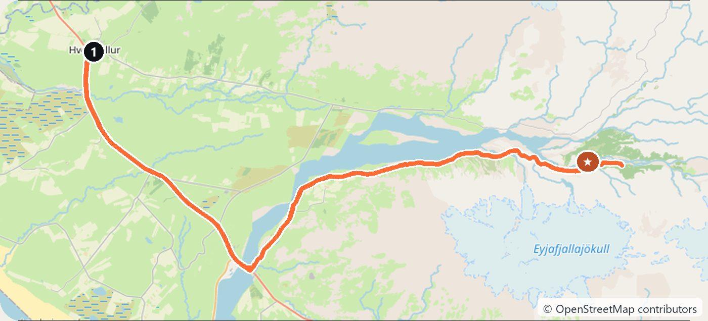
F249 Hvolsvöllur to Þórsmörk: Krossá Fords, 120 km
The F249 runs 120 km from Hvolsvöllur into Þórsmörk, a green valley under three glaciers. Summer only: the unbridged Krossá demands a large 4×4.
Rough estimate — fuel + nights at typical rates. Get an exact figure in the calculator.
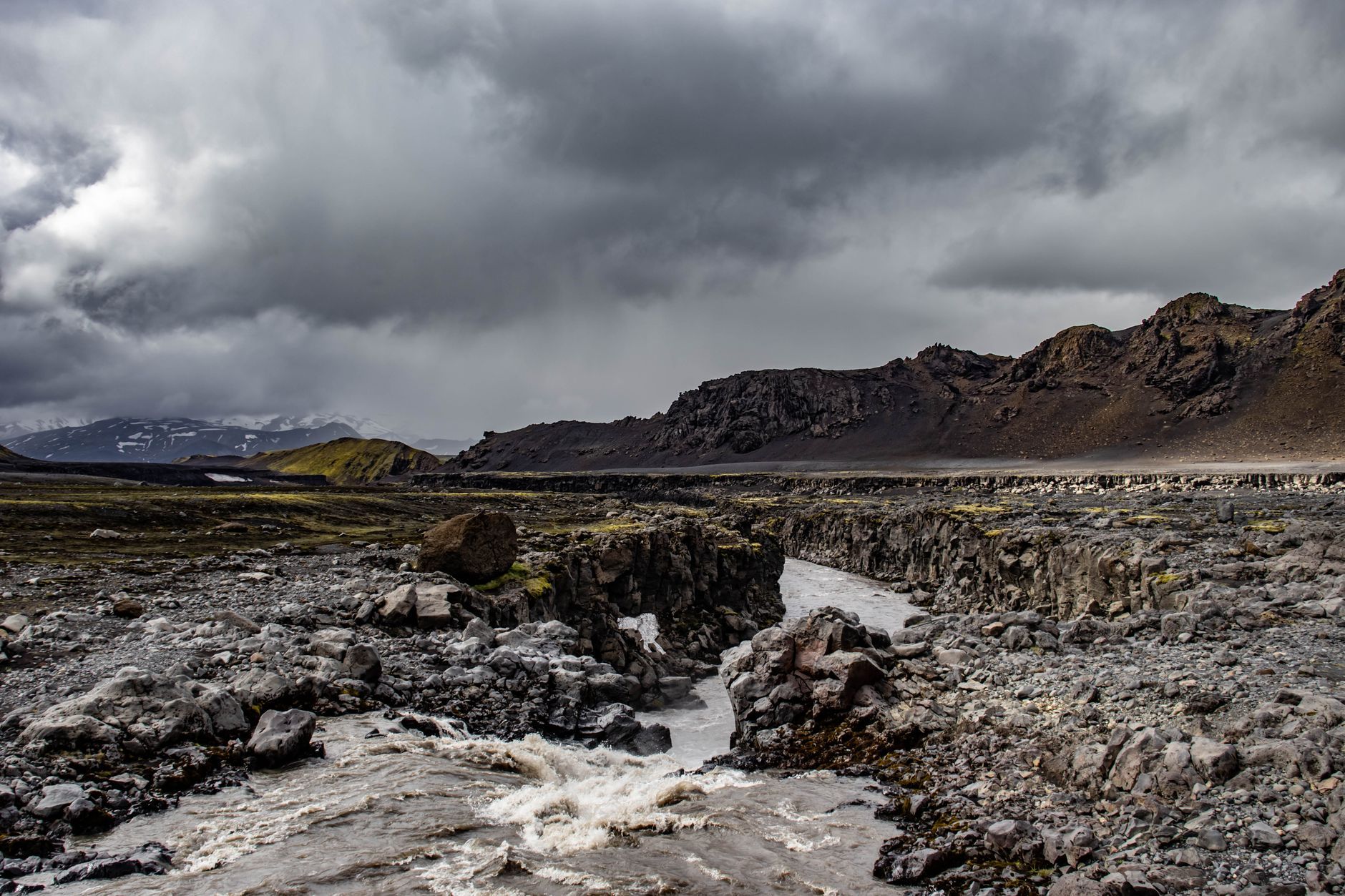
Þórsmörk — “Thor’s woodland” — is a startlingly green valley hemmed in by three glaciers: Eyjafjallajökull, Mýrdalsjökull and Tindfjallajökull. Getting there on the F249 is one of Iceland’s most demanding legal drives: the Krossá and other glacial rivers are unbridged, rise fast in the afternoon melt and change course, so a large 4×4 is essential — and river-crossing damage is not covered by rental insurance. Many people wisely take a highland bus or super-jeep instead. Summer only. You drive on the right.
Day 1 — Hvolsvöllur into Þórsmörk and back (60 km each way)
Turn off the Ring Road near Hvolsvöllur, passing Seljalandsfoss and the snout of Gígjökull, as the F249 works deeper into the valley with mounting fords that culminate in the notorious Krossá. Once in, walk up Valahnúkur for the classic panorama over the braided rivers and glaciers, or sample a stretch of the famous Laugavegur and Fimmvörðuháls trails. Drive back out before mid-afternoon, when meltwater makes the rivers highest and most dangerous.
Costs
Use the cost calculator to price fuel and the day for your exact dates. Budget a large 4×4 and fuel — or, honestly the smart choice for many, a seat on the Þórsmörk highland bus from Reykjavík or Hvolsvöllur, which fords the rivers for you. There are no tolls. Never attempt the Krossá in anything but a big 4×4, cross slowly and only when you are sure of the depth, and turn back if the river is in flood.
This trip is also in the free Roadcut trip planner: change the number of days and where you sleep each night, pick your vehicle to see the fuel cost, check the weather on the road, and open each day in Google Maps, Apple Maps or Waze.
Where to stay on this route
Pick your dates and see what is available in Þórsmörk.
See places to stay — Þórsmörk →Affiliate link — we may earn a commission at no extra cost to you.
The route on video
Get this itinerary by email
The days and the nights in your inbox, with a link back here when you are ready to book.
We use your address only to send this itinerary, unless you tick the box. Privacy
⚡ By electric car on this route
4 charging stations within 1.5 km of the road, 3 of them fast (DC). Most powerful: 250 kW.
Longest stretch without a fast charger tagged: 78 km, from km 0 of the route.
According to OpenStreetMap and operators’ websites. Fast = a DC plug or 50 kW and more; not every station has its power filled in, so there may be more. See them on the planner map → · EV charging →
🚦 Know before you go
Good to know
Good to know. The F249 into Þórsmörk has genuinely dangerous unbridged river fords (notably the Krossá) — a large 4x4 is essential, river-crossing damage is not covered by rental insurance, and many visitors take a highland bus or super-jeep instead.
Estimate your exact costs in the cost calculator. Prices are approximate — check official sites before you travel. Some links are affiliate links.
Plan this trip
Where to sleep
Hotels & B&Bs →Holiday homes & apartments →Campsites (bookable) →Campervan & overnight spots →Tours & tickets
Find things to do →Affiliate link — we may earn a commission at no extra cost to you.
Drive on from here
New road trips in your inbox
One email when we publish a new European route — the full guide, map and real costs. No spam, unsubscribe anytime.