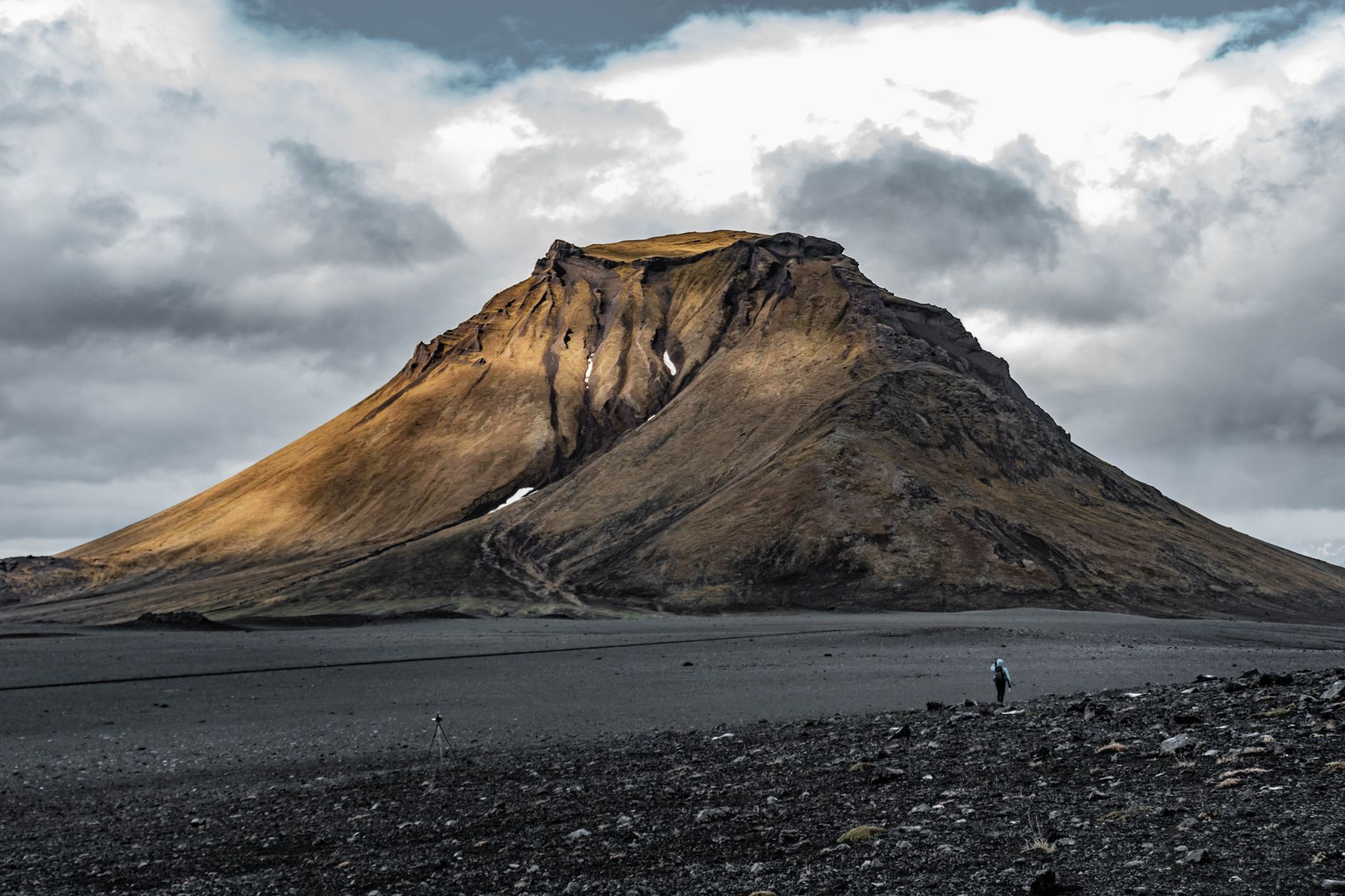
F88 Mývatn to Askja: 200 km 4×4 Desert Drive, Summer Only
The F88 crosses the Ódáðahraun lava desert from Mývatn to Askja, 200 km of glacial river fords in one day, ending with a 2.5 km walk to the Víti crater.
Rough estimate — fuel + nights at typical rates. Get an exact figure in the calculator.
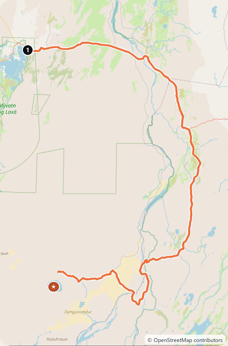
Askja is a remote volcanic caldera deep in the Vatnajökull National Park highlands, holding the vast Öskjuvatn lake and the milky-blue Víti crater you can bathe in. The classic way in, the F88, crosses the black Ódáðahraun lava desert and fords glacial rivers — the Lindá can be impassable after rain. This is strictly a large-4×4, summer-only route, and the final stretch to the crater is a 2.5 km walk. You drive on the right.
Day 1 — Mývatn to Askja and back (200 km round trip)
Leave the Ring Road east of Mývatn onto the F88, striking out across the lava desert under the Herðubreið massif. Ford the rivers carefully, reach the Vikraborgir car park, and walk in to the caldera rim above Öskjuvatn, then down to Víti for a soak if conditions allow. Return the same day — start early, as the drive is long and slow and the rivers rise later on.
Costs
Use the cost calculator to price fuel and the day for your exact dates. Budget a large 4×4 and plenty of fuel (there is none in the interior), or take a guided super-jeep tour from Mývatn or Akureyri, which is the safer option and reads the river levels for you. There are no tolls. Check road.is that morning, never rush a ford, and turn back if the Lindá is running high.
This trip is also in the free Roadcut trip planner: change the number of days and where you sleep each night, pick your vehicle to see the fuel cost, check the weather on the road, and open each day in Google Maps, Apple Maps or Waze.
Where to stay on this route
Pick your dates and see what is available in Askja.
See places to stay — Askja →Affiliate link — we may earn a commission at no extra cost to you.
The route on video
Get this itinerary by email
The days and the nights in your inbox, with a link back here when you are ready to book.
We use your address only to send this itinerary, unless you tick the box. Privacy
⚡ By electric car on this route
2 charging stations within 1.5 km of the road, 1 of them fast (DC). Most powerful: 135 kW.
Longest stretch without a fast charger tagged: 158 km, from km 0 of the route.
According to OpenStreetMap and operators’ websites. Fast = a DC plug or 50 kW and more; not every station has its power filled in, so there may be more. See them on the planner map → · EV charging →
🚦 Know before you go
Good to know · Askja (Öskjuleið)
Good to know. The F88 to Askja crosses unbridged glacial rivers (the Lindaá can be impassable after rain), so it is strictly a large-4x4, summer-only route (roughly late June to September) — check road.is and never rush a ford.
Askja (Öskjuleið). Usual season: Opens on average June 30 (earliest June 14, latest July 2; 2021–2025). Live status · All mountain passes and when they open
Estimate your exact costs in the cost calculator. Prices are approximate — check official sites before you travel. Some links are affiliate links.
Plan this trip
Where to sleep
Hotels & B&Bs →Holiday homes & apartments →Campsites (bookable) →Campervan & overnight spots →Tours & tickets
Find things to do →Affiliate link — we may earn a commission at no extra cost to you.
New road trips in your inbox
One email when we publish a new European route — the full guide, map and real costs. No spam, unsubscribe anytime.