Picos de Europa: Cangas de Onís to Potes, 160 km in 3 Days
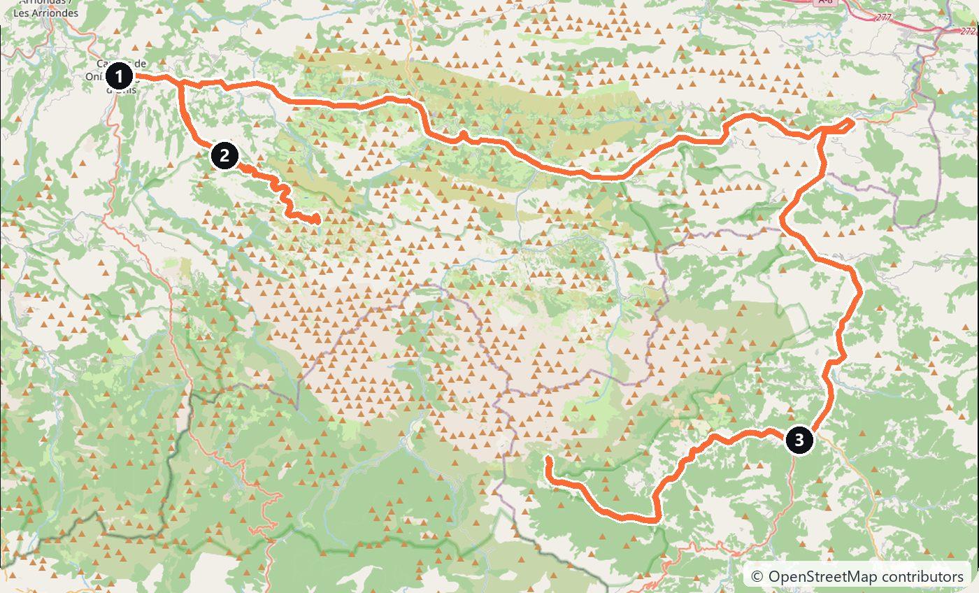
A 3-day, 160 km mountain loop through the Picos de Europa in green Spain, from Cangas de Onís to Potes, with slow twisting roads and a pickup in Bilbao.
Rough estimate — fuel + nights at typical rates. Get an exact figure in the calculator.
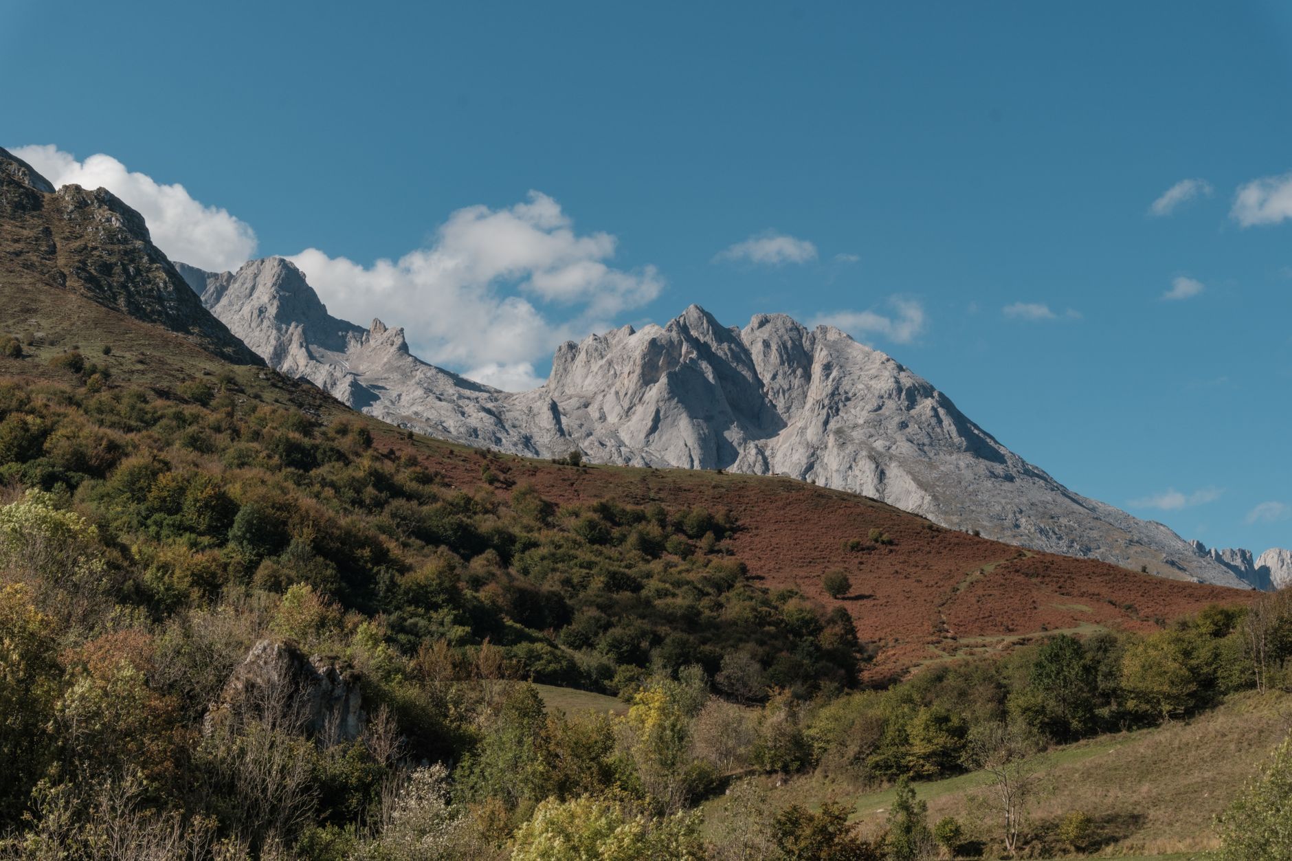
The Picos de Europa are the wild, wet heart of “green Spain”, where jagged limestone peaks rise straight out of Atlantic cloud across Asturias, Cantabria and León. This 3-day loop from Cangas de Onís to Potes covers only about 160 km, but the roads twist and climb, so the days are slow and the views constant. Bring layers and a rain jacket — this is the greenest corner of Spain because it rains, often.
Spain drives on the right. There is no vignette, and the park roads themselves are toll-free; you only pay a toll if you take an autopista to reach the region (for example from Bilbao). Fuel stations thin out in the mountains, so top up in the valley towns.
Day 1 — Cangas de Onís to Covadonga and the lakes (35 km)
Start in Cangas de Onís, whose famous humpbacked bridge is often called the “Roman bridge” (the current stone arch is medieval) with a cross hanging beneath it. Drive up to Covadonga, site of the pink-and-grey basilica and the Santa Cueva, the holy cave with its shrine and spring set into the cliff. Continue on the steep, narrow road to the Lakes of Covadonga — Lago Enol and Lago Ercina. In peak summer the lakes road is often access-restricted to a paid shuttle bus to control traffic, so check the current rules and park at the valley car park before heading up. Overnight near Cangas de Onís or Arenas de Cabrales.
Day 2 — The Cares Gorge (50 km)
Head east into Cabrales country, home of the pungent blue cheese cured in mountain caves. From Poncebos you can walk the Ruta del Cares, one of Spain’s most celebrated hikes: a dramatic trail carved into the gorge walls following the Cares river toward the village of Caín. The full there-and-back route is long (around 22 km), so many walk part-way and turn around. Drive on toward Potes in the afternoon. Sleep in or near Potes.
Day 3 — Potes and the Fuente Dé cable car (75 km)
Explore Potes, a stone village of bridges and towers in the Liébana valley. Drive to Fuente Dé and ride the teleférico, a cable car that climbs the sheer rock face to a viewing platform at roughly 1,800 m for a panorama of surrounding peaks. Queues can be long in summer, so arrive early. From here it is an easy run back toward Bilbao or your next stop.
Costs
Use the cost calculator to price fuel and nights for your exact dates. Expect roughly €70–130 per night for accommodation in the valley towns, plus fuel for about 160 km of steep mountain driving. Budget for the Fuente Dé cable car ticket and, in peak season, the Covadonga lakes shuttle or parking. Weather is genuinely wet here, so pack layers and waterproofs whatever the forecast.
This trip is also in the free Roadcut trip planner: change the number of days and where you sleep each night, pick your vehicle to see the fuel cost, check the weather on the road, and open each day in Google Maps, Apple Maps or Waze.
Where to stay on this route
Night by night, in the towns this itinerary sleeps in.
The search opens with sample dates a month from today — change them to yours on Booking. Affiliate link — we may earn a commission at no extra cost to you.
The route on video
Get this itinerary by email
The days and the nights in your inbox, with a link back here when you are ready to book.
We use your address only to send this itinerary, unless you tick the box. Privacy
⚡ By electric car on this route
19 charging stations within 1.5 km of the road, 6 of them fast (DC). Most powerful: 60 kW.
Longest stretch without a fast charger tagged: 52 km, from km 1 of the route.
According to OpenStreetMap and operators’ websites. Fast = a DC plug or 50 kW and more; not every station has its power filled in, so there may be more. Power and stations missing from OpenStreetMap also from DGT / MITERD — nap.dgt.es (CC BY). See them on the planner map → · EV charging →
Seen on the road
Travellers who drove these roads and filmed them.
Plan this trip
Where to sleep
Hotels & B&Bs →Holiday homes & apartments →Campsites (bookable) →Campervan & overnight spots →Tours & tickets
Find things to do →Affiliate link — we may earn a commission at no extra cost to you.
New road trips in your inbox
One email when we publish a new European route — the full guide, map and real costs. No spam, unsubscribe anytime.