Provence Road Trip: Avignon to the Verdon Gorge (4 Days)
Drive through Provence from Avignon to the Gorges du Verdon — Luberon villages, lavender fields, the ochre cliffs and turquoise gorge, with real costs.
Rough estimate — fuel + nights at typical rates. Get an exact figure in the calculator.
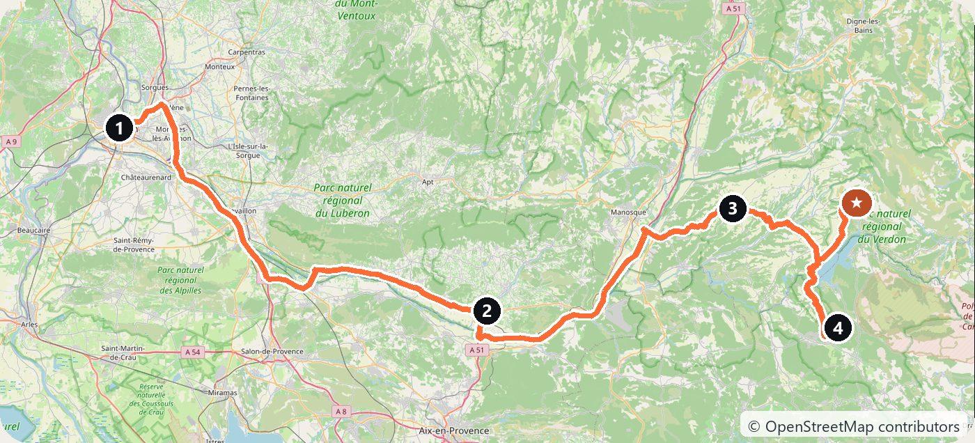
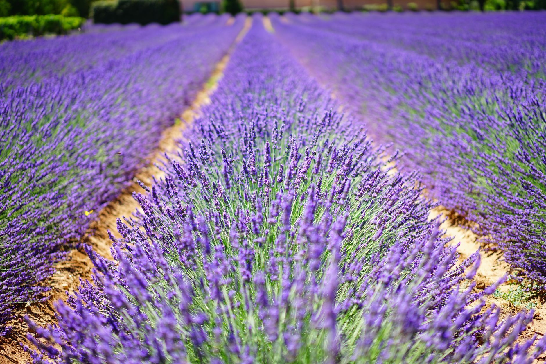
Provence in one drive: from the papal city of Avignon through the perched villages of the Luberon and the lavender plateau to the turquoise water of the Gorges du Verdon, Europe’s grand canyon. Best from late June to mid-July when the lavender is in bloom.
Day 1 — Avignon and the Luberon (60 km)
Start at Avignon’s Palais des Papes, then into the Luberon for the hilltop villages of Gordes and the ochre cliffs of Roussillon.
Day 2 — Lavender at Valensole (75 km)
Across the Valensole plateau — the postcard lavender fields — toward the western end of the Verdon. Sleep in Valensole.
Day 3 — Gorges du Verdon (55 km)
The rim road of the Gorges du Verdon, with viewpoints high above the river, ending at the cliffside village of Moustiers-Sainte-Marie.
Day 4 — Lake Sainte-Croix
The turquoise Lac de Sainte-Croix at the mouth of the gorge — rent a pedalo or kayak into the canyon, then head home.
Tolls and costs
France has distance-based autoroute tolls, but the Provence back roads are toll-free and far prettier. Villages fill up midday in summer — arrive early. Use the cost calculator for your dates, and rent the car in Avignon.
This trip is also in the free Roadcut trip planner: change the number of days and where you sleep each night, pick your vehicle to see the fuel cost, check the weather on the road, and open each day in Google Maps, Apple Maps or Waze.
Where to stay on this route
Night by night, in the towns this itinerary sleeps in.
- Night 1Hotels in Gordes →Hotels in Roussillon →
- Night 2Hotels in Valensole →
- Night 3Hotels in Moustiers-Sainte-Marie →
The search opens with sample dates a month from today — change them to yours on Booking. Affiliate link — we may earn a commission at no extra cost to you.
The route on video
Get this itinerary by email
The days and the nights in your inbox, with a link back here when you are ready to book.
We use your address only to send this itinerary, unless you tick the box. Privacy
⚡ By electric car on this route
77 charging stations within 1.5 km of the road, 32 of them fast (DC). Most powerful: 400 kW.
Longest stretch without a fast charger tagged: 51 km, from km 141 of the route.
According to OpenStreetMap and operators’ websites. Fast = a DC plug or 50 kW and more; not every station has its power filled in, so there may be more. Power and stations missing from OpenStreetMap also from data.gouv.fr — IRVE (Licence Ouverte 2.0). See them on the planner map → · EV charging →
Plan this trip
Where to sleep
Hotels & B&Bs →Holiday homes & apartments →Campsites (bookable) →Campervan & overnight spots →Tours & tickets
Find things to do →Affiliate link — we may earn a commission at no extra cost to you.
Drive on from here
More roads nearby
- Mallorca Road Trip: the Serra de Tramuntana on the Ma-10 in 4 Days292 km · 4 days
- Dordogne and Lot Road Trip from Bergerac: Castles, Lascaux, Rocamadour and Saint-Cirq-Lapopie in 4 Days425 km · 4 days
- Lake Constance Road Trip from Friedrichshafen: Three Countries, the Rhine Falls and Lindau in 3 Days270 km · 3 days
New road trips in your inbox
One email when we publish a new European route — the full guide, map and real costs. No spam, unsubscribe anytime.