Black Forest High Road: Baden-Baden to Freiburg (3 Days)
Drive the Schwarzwaldhochstraße through Germany's Black Forest — panoramic ridge road, waterfalls, Lake Titisee and cuckoo-clock villages, with real costs.
Rough estimate — fuel + nights at typical rates. Get an exact figure in the calculator.
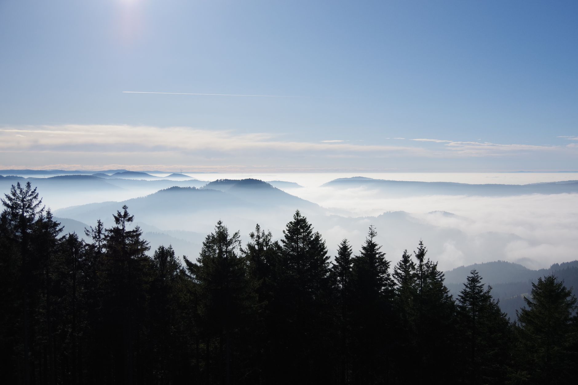
The Schwarzwaldhochstraße (Black Forest High Road) is one of Germany’s oldest scenic routes: a ridge road winding through dark pine forest, past mountain moors and long views over the Rhine valley. Toll-free, and easy to extend into the southern Black Forest of waterfalls and lakes.
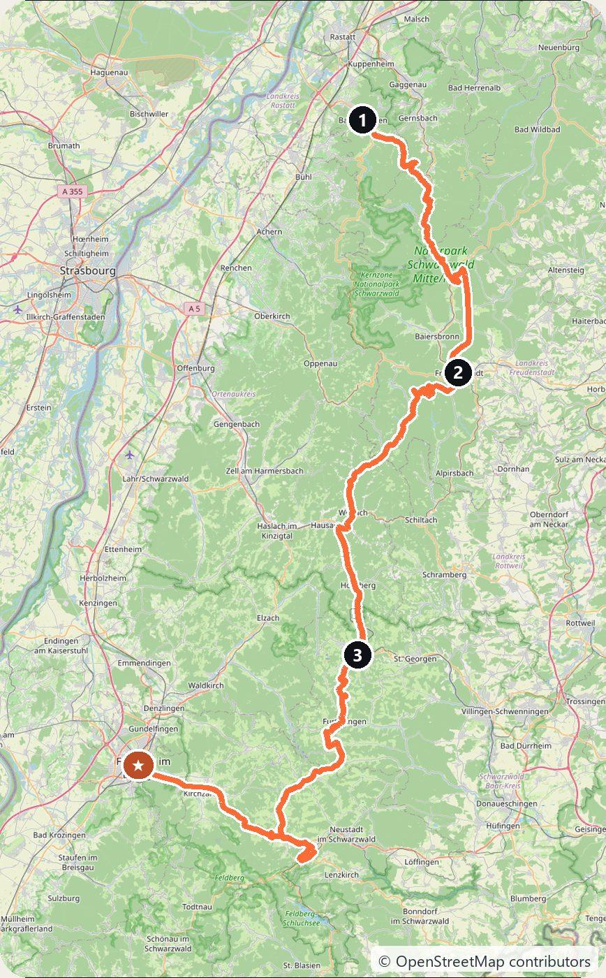
Day 1 — Baden-Baden to Freudenstadt (60 km)
The classic B500 high road from the spa town of Baden-Baden along the ridge, past the Mummelsee mountain lake, to Freudenstadt.
Day 2 — Triberg and the waterfalls (60 km)
South to Triberg for one of Germany’s highest waterfalls and the giant cuckoo clocks, through the heart of clock-making country.
Day 3 — Triberg to Freiburg via Lake Titisee (65 km)
South out of Triberg through the high forest to the resort lake of Titisee, then down out of the trees to the sunny university city of Freiburg.
Tolls and costs
Germany is toll-free for cars. The forest roads are slow and scenic — allow more time than the distance suggests. Use the cost calculator for your dates.
This trip is also in the free Roadcut trip planner: change the number of days and where you sleep each night, pick your vehicle to see the fuel cost, check the weather on the road, and open each day in Google Maps, Apple Maps or Waze.
Where to stay on this route
Night by night, in the towns this itinerary sleeps in.
- Night 1Hotels in Freudenstadt →
- Night 2Hotels in Triberg →
The search opens with sample dates a month from today — change them to yours on Booking. Affiliate link — we may earn a commission at no extra cost to you.
The route on video
Get this itinerary by email
The days and the nights in your inbox, with a link back here when you are ready to book.
We use your address only to send this itinerary, unless you tick the box. Privacy
⚡ By electric car on this route
81 charging stations within 1.5 km of the road, 26 of them fast (DC). Most powerful: 400 kW.
Longest stretch without a fast charger tagged: 52 km, from km 92 of the route.
According to OpenStreetMap and operators’ websites. Fast = a DC plug or 50 kW and more; not every station has its power filled in, so there may be more. Power and stations missing from OpenStreetMap also from Bundesnetzagentur.de (CC BY 4.0). See them on the planner map → · EV charging →
Seen on the road
Travellers who drove these roads and filmed them.
Plan this trip
Where to sleep
Hotels & B&Bs →Holiday homes & apartments →Campsites (bookable) →Campervan & overnight spots →Tours & tickets
Find things to do →Affiliate link — we may earn a commission at no extra cost to you.
Drive on from here
New road trips in your inbox
One email when we publish a new European route — the full guide, map and real costs. No spam, unsubscribe anytime.