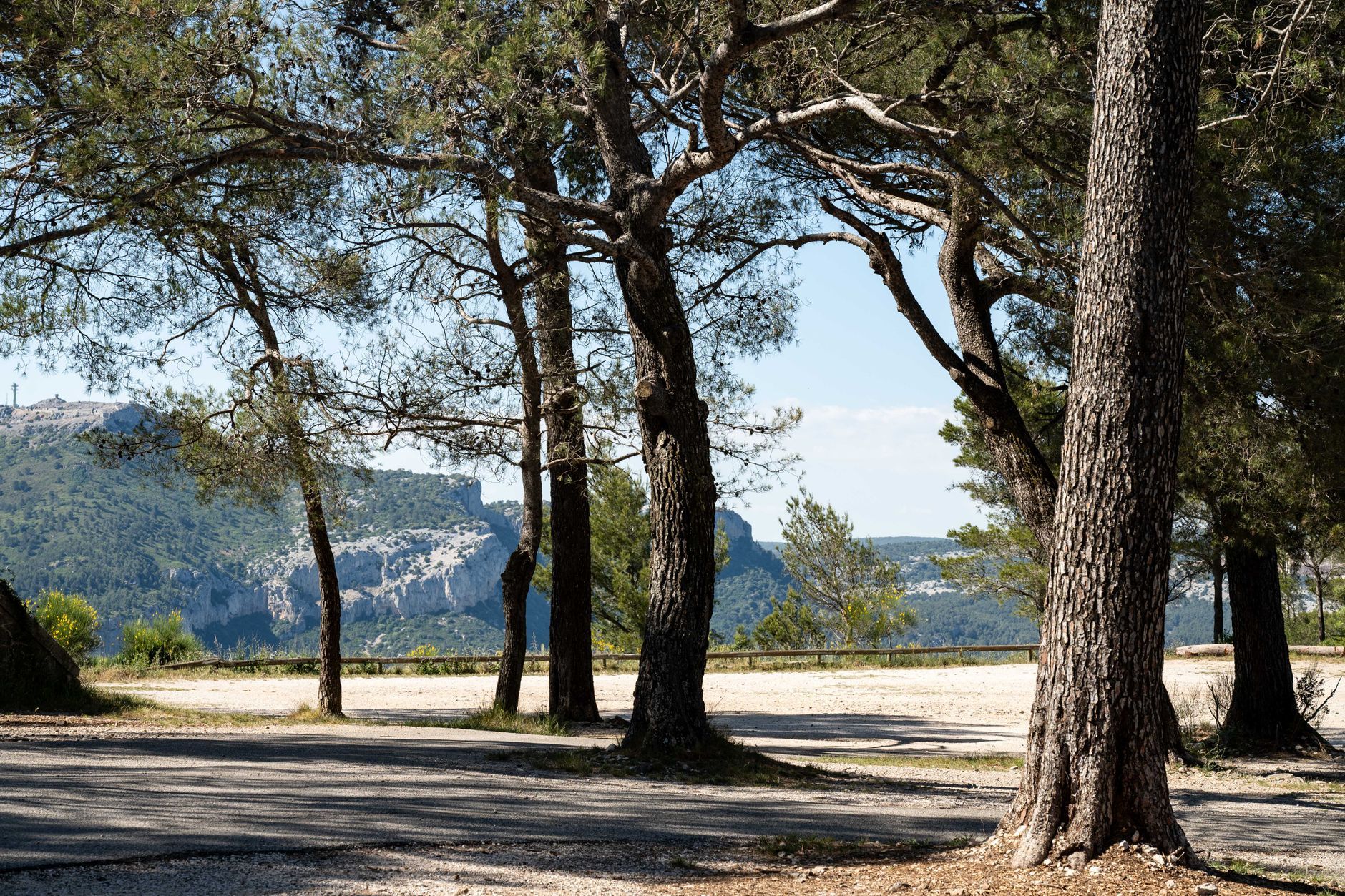
Route Napoléon by Motorbike: Grenoble to Cannes (2 Days)
Ride France's Route Napoléon (N85) from Grenoble to the Riviera at Cannes — Sisteron, Castellane, Grasse, sweeping bends, where to sleep and real costs.
Rough estimate — fuel + nights at typical rates. Get an exact figure in the calculator.
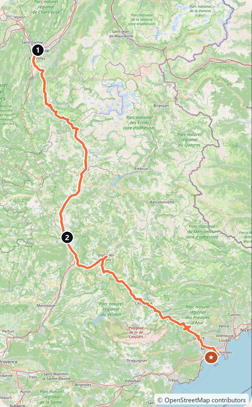
The Route Napoléon follows the path the emperor took in March 1815 on his return from exile on Elba, from the Riviera up to Grenoble. Today it is the N85, a superb sweeping road that trades alpine foothills for lavender plateaus and finally the Mediterranean, marked along the way by the imperial eagle. You drive on the right. Fuel up before the quieter mountain stretches and watch for other bikes on the bends — it is a favourite ride for good reason.
Day 1 — Grenoble to Sisteron (145 km)
Leave Grenoble heading south on the N85, climbing over the Col Bayard above Gap, then following the Durance down to Sisteron, where a huge citadel guards the narrow gorge. It is a natural place to break the ride — wander the old town under the rock and sleep in Sisteron.
Day 2 — Sisteron to Cannes (190 km)
Continue south through Digne-les-Bains and the perched town of Castellane, the gateway to the Verdon gorges, then wind up and over the wooded cols toward Grasse, France’s perfume capital. From there the road drops to the coast and the palm-lined seafront at Cannes, close to Golfe-Juan where Napoleon came ashore.
Costs
Use the cost calculator to price fuel and nights for your exact dates. The N85 is toll-free, but the Riviera end is pricey in summer — book a room inland around Grasse or Sisteron to keep nights affordable. Bring layers for the cool morning air in the mountains even when the coast is warm.
This trip is also in the free Roadcut trip planner: change the number of days and where you sleep each night, pick your vehicle to see the fuel cost, check the weather on the road, and open each day in Google Maps, Apple Maps or Waze.
Where to stay on this route
Night by night, in the towns this itinerary sleeps in.
- Night 1Hotels in Sisteron →
The search opens with sample dates a month from today — change them to yours on Booking. Affiliate link — we may earn a commission at no extra cost to you.
The route on video
Get this itinerary by email
The days and the nights in your inbox, with a link back here when you are ready to book.
We use your address only to send this itinerary, unless you tick the box. Privacy
⚡ By electric car on this route
128 charging stations within 1.5 km of the road, 77 of them fast (DC). Most powerful: 380 kW.
Longest stretch without a fast charger tagged: 52 km, from km 216 of the route.
According to OpenStreetMap and operators’ websites. Fast = a DC plug or 50 kW and more; not every station has its power filled in, so there may be more. Power and stations missing from OpenStreetMap also from data.gouv.fr — IRVE (Licence Ouverte 2.0). See them on the planner map → · EV charging →
Seen on the road
Travellers who drove these roads and filmed them.
Plan this trip
Where to sleep
Hotels & B&Bs →Holiday homes & apartments →Campsites (bookable) →Campervan & overnight spots →Tours & tickets
Find things to do →Affiliate link — we may earn a commission at no extra cost to you.
Drive on from here
More roads nearby
- Dordogne and Lot Road Trip from Bergerac: Castles, Lascaux, Rocamadour and Saint-Cirq-Lapopie in 4 Days425 km · 4 days
- Lake Constance Road Trip from Friedrichshafen: Three Countries, the Rhine Falls and Lindau in 3 Days270 km · 3 days
- Langhe and Barolo Road Trip from Turin: Alba, Barbaresco and the Wine Castles in 3 Days253 km · 3 days
New road trips in your inbox
One email when we publish a new European route — the full guide, map and real costs. No spam, unsubscribe anytime.